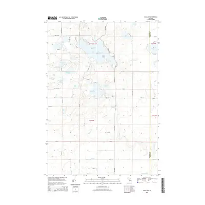
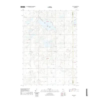
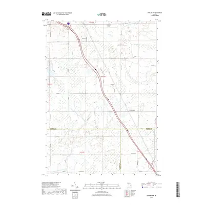
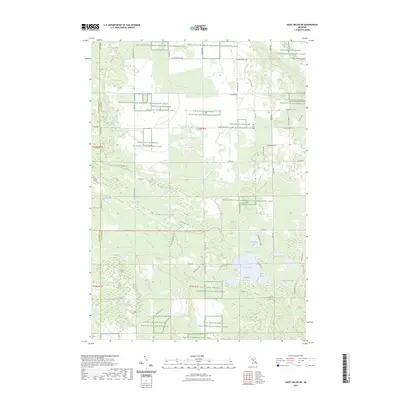
1965 Map of Selkirk
USGS Topo · Published 1966About this map
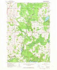
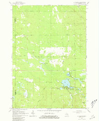
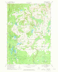
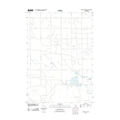
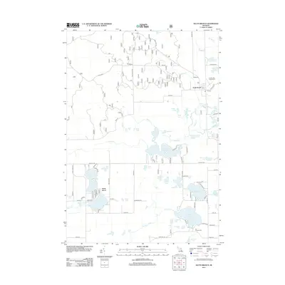
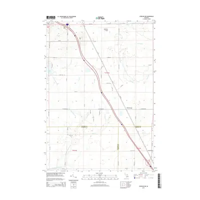
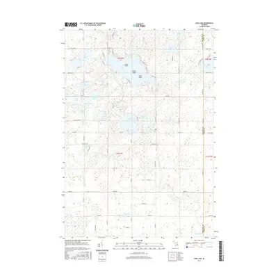
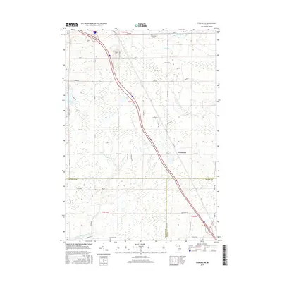
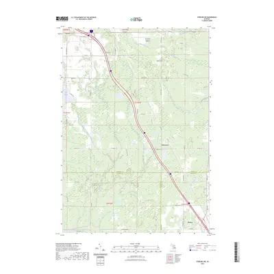
Rifle River flows through this 1965 survey of Ogemaw County, anchoring a landscape defined by state-protected lands and a high density of rural social centers. The presence of multiple Aboriginal Earthworks near the river and Selkirk indicates the long-standing significance of this corridor, which is further documented by a concentration of local institutions including Churchill Sch, Friends Ch, and the Holiness Campground.
Find a feature on this map
47 named features on this map. Tap any name to fly to it.
Don’t see what you’re looking for? This feature index may not catch every label — zoom into the map to look around manually.
Map Details
Editions of this 1965 Selkirk Map
2 editions found
Historical Maps of Logan Township Through Time
48 maps found
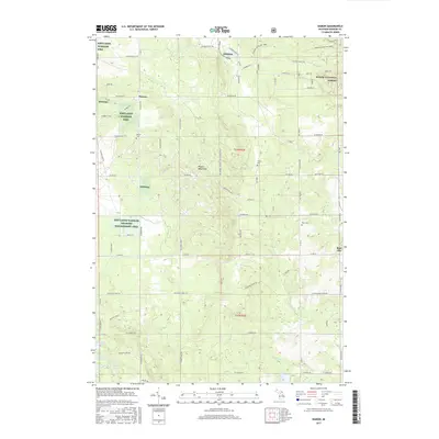
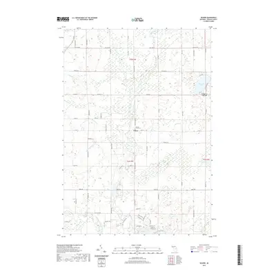
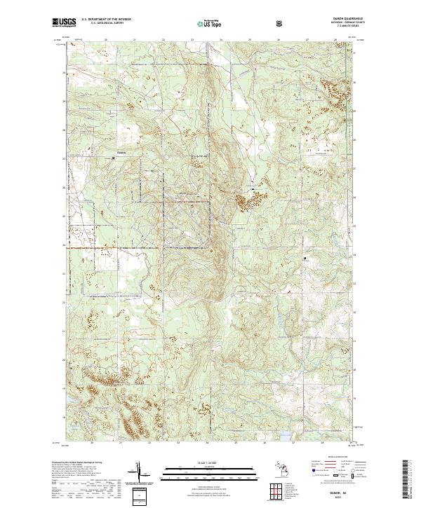
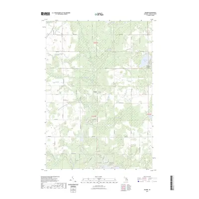
1965 Damon
Ogemaw County, MI
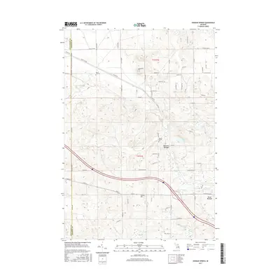
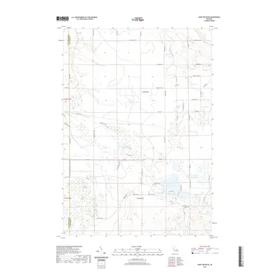
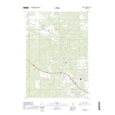
1965 Ogemaw Springs
Ogemaw County, MI
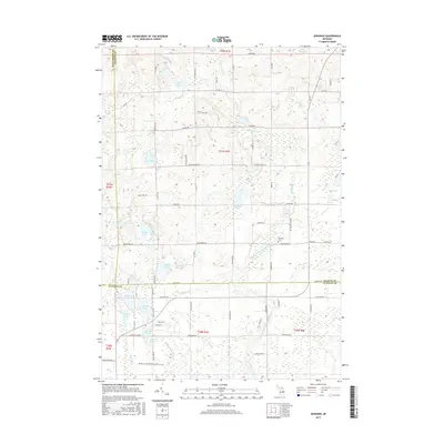
1965 Selkirk
Ogemaw County, MI
1965 St. Helen NE
Ogemaw County, MI
1968 Sage Lake
Ogemaw County, MI
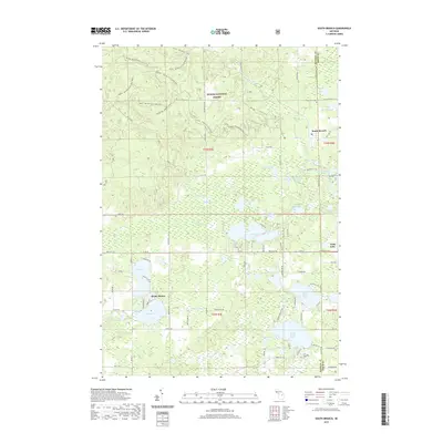
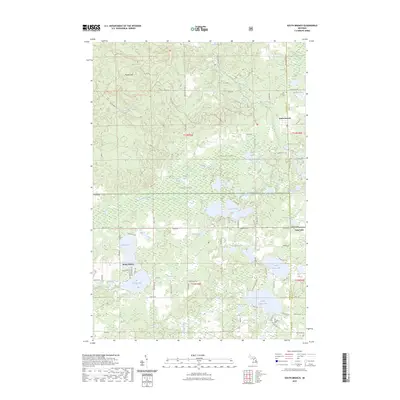
1968 South Branch
Ogemaw County, MI
1968 Sterling NW
Ogemaw County, MI
1969 Edwards
Ogemaw County, MI
2011 Edwards
Ogemaw County, MI
2011 Ogemaw Springs
Ogemaw County, MI
2011 Sage Lake
Ogemaw County, MI
2011 Saint Helen NE
Ogemaw County, MI
2011 Selkirk
Ogemaw County, MI
2011 Sterling NW
Ogemaw County, MI
2012 Damon
Ogemaw County, MI
2012 South Branch
Ogemaw County, MI
2014 Damon
Ogemaw County, MI
2014 Edwards
Ogemaw County, MI
2014 Ogemaw Springs
Ogemaw County, MI
2014 Sage Lake
Ogemaw County, MI
2014 Saint Helen NE
Ogemaw County, MI
2014 Selkirk
Ogemaw County, MI
2014 South Branch
Ogemaw County, MI
2014 Sterling NW
Ogemaw County, MI
2017 Damon
Ogemaw County, MI
2017 Edwards
Ogemaw County, MI
2017 Ogemaw Springs
Ogemaw County, MI
2017 Sage Lake
Ogemaw County, MI
2017 Saint Helen NE
Ogemaw County, MI
2017 Selkirk
Ogemaw County, MI
2017 South Branch
Ogemaw County, MI
2017 Sterling NW
Ogemaw County, MI
2019 Damon
Ogemaw County, MI
2019 Edwards
Ogemaw County, MI
2019 Ogemaw Springs
Ogemaw County, MI
2019 Sage Lake
Ogemaw County, MI
2019 Saint Helen NE
Ogemaw County, MI
2019 Selkirk
Ogemaw County, MI
2019 South Branch
Ogemaw County, MI
2019 Sterling NW
Ogemaw County, MI
2023 Damon
Ogemaw County, MI
2023 Edwards
Ogemaw County, MI
2023 Ogemaw Springs
Ogemaw County, MI
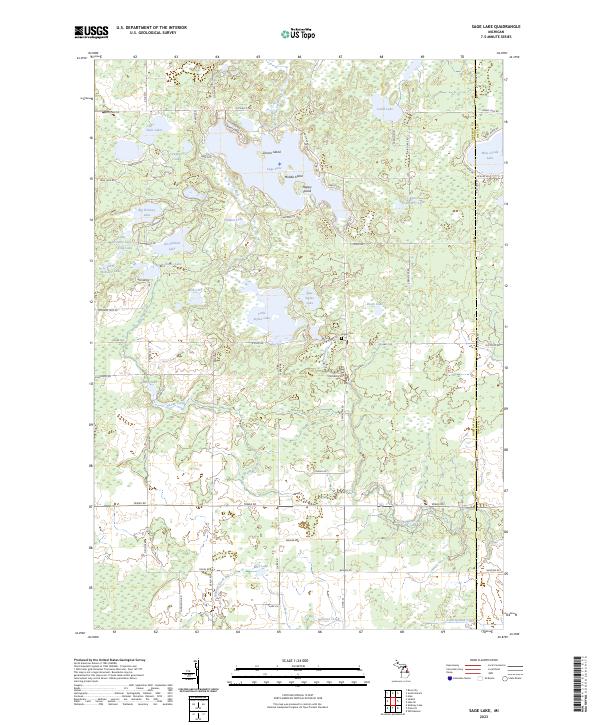
2023 Sage Lake
Ogemaw County, MI
2023 Saint Helen NE
Ogemaw County, MI
2023 Selkirk
Ogemaw County, MI
2023 South Branch
Ogemaw County, MI
2023 Sterling NW
Ogemaw County, MI
Featured Locations
- Logan Township, MI
- Churchill Township, MI
- Hill Township, MI
- Camp Lu Lay Lea, Cumming Township
- Selkirk, Churchill Township