
1968 Map of Prescott
USGS Topo · Published 1971About this map
The village of Prescott serves as a central hub in this survey of northeastern Michigan, situated where the Old Railroad Grade meets a network of country roads including Greenwood Road. The landscape is a mix of agricultural clearings and wetlands, dotted with numerous small bodies of water like Cranberry Lake and Johnson Lake. To the south, the terrain transitions into an active Oil and Gas Field near Maple Ridge, indicating the industrial significance of the region during the late 1960s.
Find a feature on this map
46 named features on this map. Tap any name to fly to it.
Don’t see what you’re looking for? This feature index may not catch every label — zoom into the map to look around manually.
Map Details
Editions of this 1968 Prescott Map
This is the sole edition of this map. No revisions or reprints were ever made.
Other maps of this area

1954 · Traverse City
USGS Topo · 1:250,000

1954 · Tawas City
USGS Topo · 1:250,000

1958 · Traverse City
USGS Topo · 1:250,000

1958 · Tawas City
USGS Topo · 1:250,000

1965 · Selkirk
USGS Topo · 1:24,000

1968 · Whittemore
USGS Topo · 1:24,000

1968 · Sage Lake
USGS Topo · 1:24,000
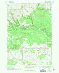
1968 · Omer SW
USGS Topo · 1:24,000

1968 · Sterling
USGS Topo · 1:24,000
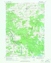
1968 · Omer
USGS Topo · 1:24,000