
1968 Map of Whittemore
USGS Topo · Published 1971About this map
Whittemore and Turner serve as the primary hubs in this late 1960s survey of the northern Michigan landscape. The region is defined by its extensive water network and forestry, with the Au Gres River and Porterfield Creek draining through the wooded expanses of the Alpena State Forest and the Tittabawassee River State Forest. The geography reveals a transition from these protected timberlands to agricultural plots interconnected by a grid of named rural routes such as Partlo Road and Maple Ridge Road.
Find a feature on this map
44 named features on this map. Tap any name to fly to it.
Don’t see what you’re looking for? This feature index may not catch every label — zoom into the map to look around manually.
Map Details
Editions of this 1968 Whittemore Map
This is the sole edition of this map. No revisions or reprints were ever made.
Other maps of this area

1954 · Tawas City
USGS Topo · 1:250,000

1958 · Tawas City
USGS Topo · 1:250,000

1959 · Tawas City
USGS Topo · 1:62,500

1966 · Au Gres
USGS Topo · 1:24,000

1966 · National City
USGS Topo · 1:24,000

1968 · Prescott
USGS Topo · 1:24,000

1968 · Sage Lake
USGS Topo · 1:24,000
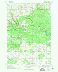
1968 · Omer SW
USGS Topo · 1:24,000
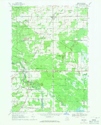
1968 · Omer
USGS Topo · 1:24,000

1968 · Hale SE
USGS Topo · 1:24,000