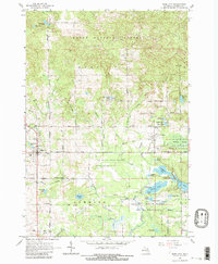
1965 Map of Rose City
USGS Topo · Published 1982About this map
Rose City and the neighboring hamlet of Lupton serve as the primary hubs in this mid-1960s survey of eastern Ogemaw County. The landscape is characterized by a dense network of water features and protected lands, with the Rifle River winding through the Rifle River State Recreation Area in the southeast. Numerous small lakes and ponds, including Grousehaven Lake, Jewett Lake, and Grebe Lake, define the local topography alongside significant wetland areas like Maltbys Swamp and Alger Swamp.
Find a feature on this map
59 named features on this map. Tap any name to fly to it.
Don’t see what you’re looking for? This feature index may not catch every label — zoom into the map to look around manually.
Map Details
Editions of this 1965 Rose City Map
3 editions found
Other maps of this area

1954 · Traverse City
USGS Topo · 1:250,000

1954 · Tawas City
USGS Topo · 1:250,000

1958 · Traverse City
USGS Topo · 1:250,000

1958 · Tawas City
USGS Topo · 1:250,000

1965 · Damon
USGS Topo · 1:24,000

1965 · West Branch
USGS Topo · 1:24,000

1965 · Selkirk
USGS Topo · 1:24,000

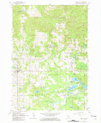
1965 · Rose City
USGS Topo · 1:24,000

1968 · Sage Lake
USGS Topo · 1:24,000

1968 · South Branch
USGS Topo · 1:24,000