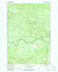
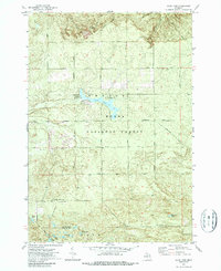
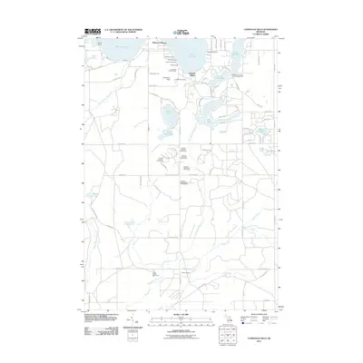
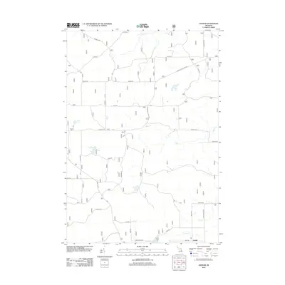
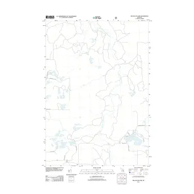
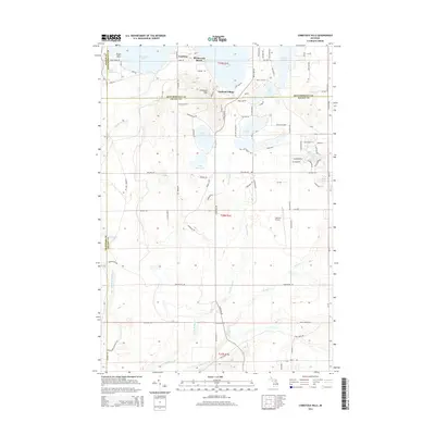
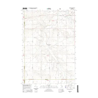
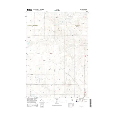
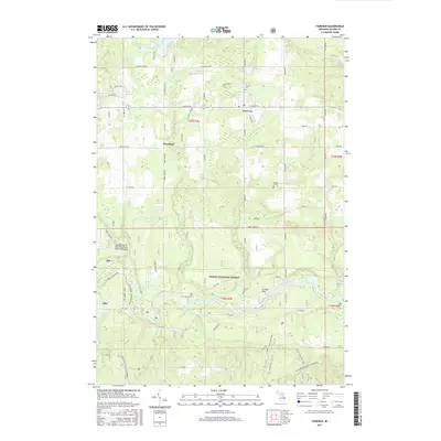
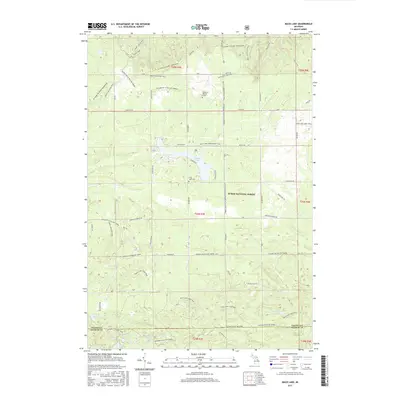
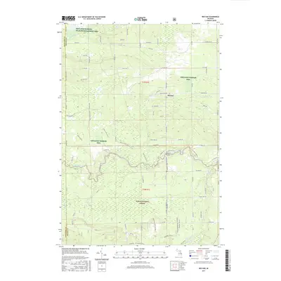
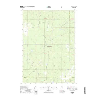
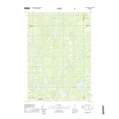
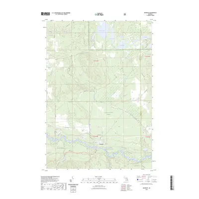
1972 Map of McKinley
USGS Topo · Published 1975About this map
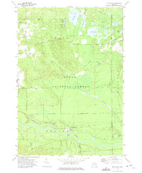
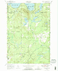
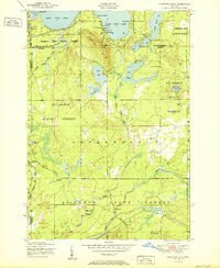
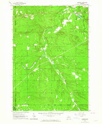
Mc Kinley sits along the northern banks of the Au Sable River, serving as a central point of reference in this heavily forested landscape within the Huron National Forest. The map documents a topography defined by glacial kettle lakes and old logging corridors, with the Old Railroad Grade and Hardy Grade cutting across the terrain—remnants of the region's timber-era infrastructure. North of the river, several prominent water bodies such as Shamrock Lake, Lake David, and Island Lake are clustered near Camp Barakel.
Find a feature on this map
38 named features on this map. Tap any name to fly to it.
Don’t see what you’re looking for? This feature index may not catch every label — zoom into the map to look around manually.
Map Details
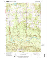
Editions of this 1972 McKinley Map
This is the sole edition of this map. No revisions or reprints were ever made.
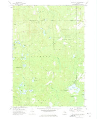
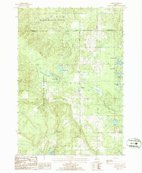
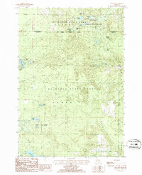
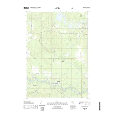
Historical Maps of Mitchell Township Through Time
67 maps found
1950 Comstock Hills
Oscoda County, MI
1951 Comstock Hills
Oscoda County, MI
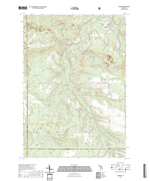
1963 Luzerne
Oscoda County, MI
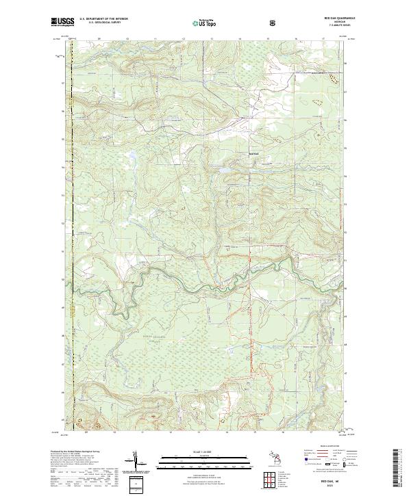
1963 Red Oak
Oscoda County, MI
1972 Fairview
Oscoda County, MI
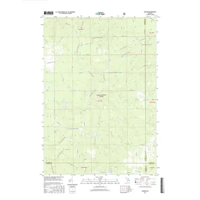
1972 Goodar
Oscoda County, MI
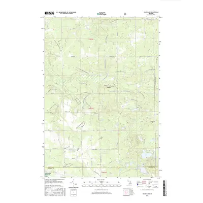
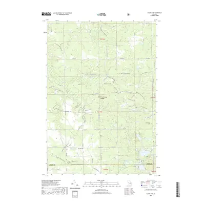
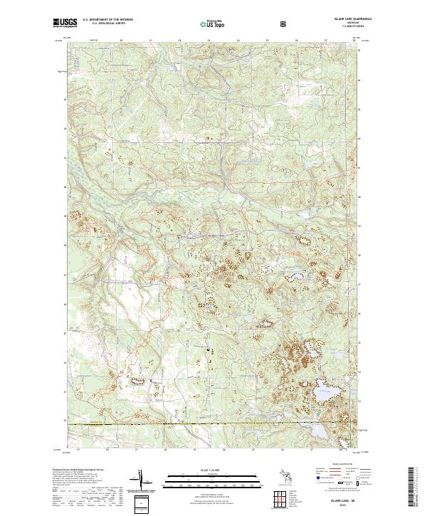
1972 Island Lake
Oscoda County, MI
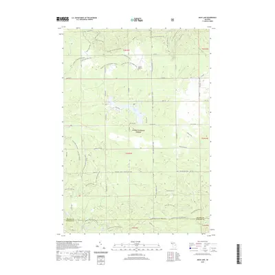
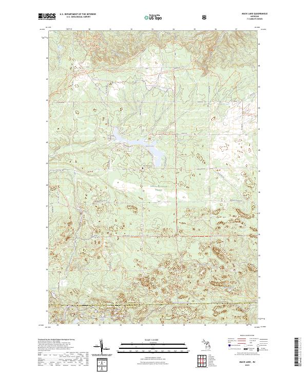
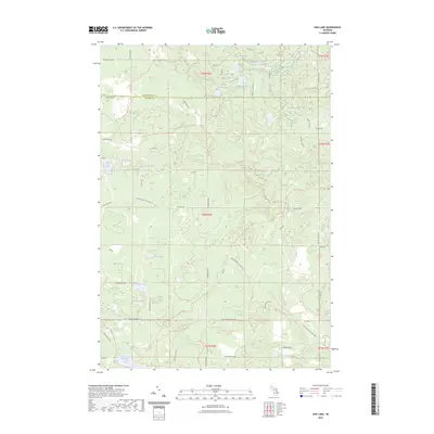
1972 Mack Lake
Oscoda County, MI
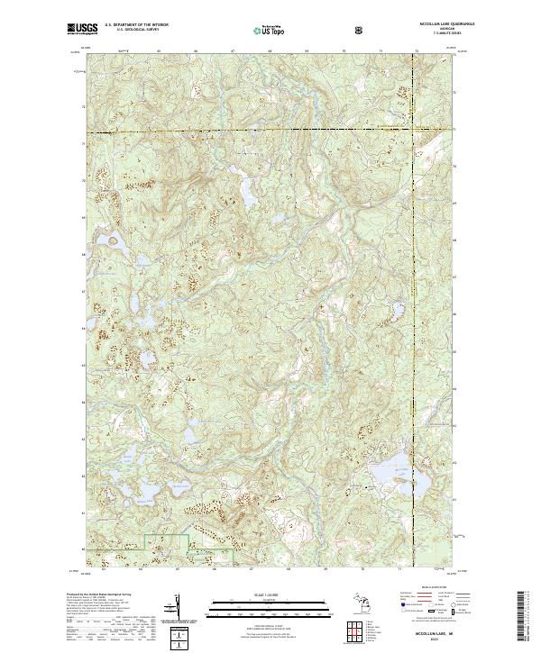
1972 McCollum Lake
Oscoda County, MI
1972 McKinley
Oscoda County, MI
1986 Comins
Oscoda County, MI
1986 Oak Lake
Oscoda County, MI
2011 Comstock Hills
Oscoda County, MI
2011 Oak Lake
Oscoda County, MI
2012 Comins
Oscoda County, MI
2012 Fairview
Oscoda County, MI
2012 Goodar
Oscoda County, MI
2012 Island Lake
Oscoda County, MI
2012 Luzerne
Oscoda County, MI
2012 Mack Lake
Oscoda County, MI
2012 McCollum Lake
Oscoda County, MI
2012 McKinley
Oscoda County, MI
2012 Red Oak
Oscoda County, MI
2014 Comins
Oscoda County, MI
2014 Comstock Hills
Oscoda County, MI
2014 Fairview
Oscoda County, MI
2014 Goodar
Oscoda County, MI
2014 Island Lake
Oscoda County, MI
2014 Luzerne
Oscoda County, MI
2014 Mack Lake
Oscoda County, MI
2014 McCollum Lake
Oscoda County, MI
2014 McKinley
Oscoda County, MI
2014 Oak Lake
Oscoda County, MI
2014 Red Oak
Oscoda County, MI
2017 Comins
Oscoda County, MI
2017 Comstock Hills
Oscoda County, MI
2017 Fairview
Oscoda County, MI
2017 Goodar
Oscoda County, MI
2017 Island Lake
Oscoda County, MI
2017 Luzerne
Oscoda County, MI
2017 Mack Lake
Oscoda County, MI
2017 McCollum Lake
Oscoda County, MI
2017 McKinley
Oscoda County, MI
2017 Oak Lake
Oscoda County, MI
2017 Red Oak
Oscoda County, MI
2019 Comins
Oscoda County, MI
2019 Comstock Hills
Oscoda County, MI
2019 Fairview
Oscoda County, MI
2019 Goodar
Oscoda County, MI
2019 Island Lake
Oscoda County, MI
2019 Luzerne
Oscoda County, MI
2019 Mack Lake
Oscoda County, MI
2019 McCollum Lake
Oscoda County, MI
2019 McKinley
Oscoda County, MI
2019 Oak Lake
Oscoda County, MI
2019 Red Oak
Oscoda County, MI
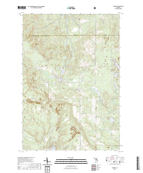
2023 Comins
Oscoda County, MI
2023 Comstock Hills
Oscoda County, MI
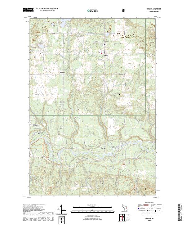
2023 Fairview
Oscoda County, MI
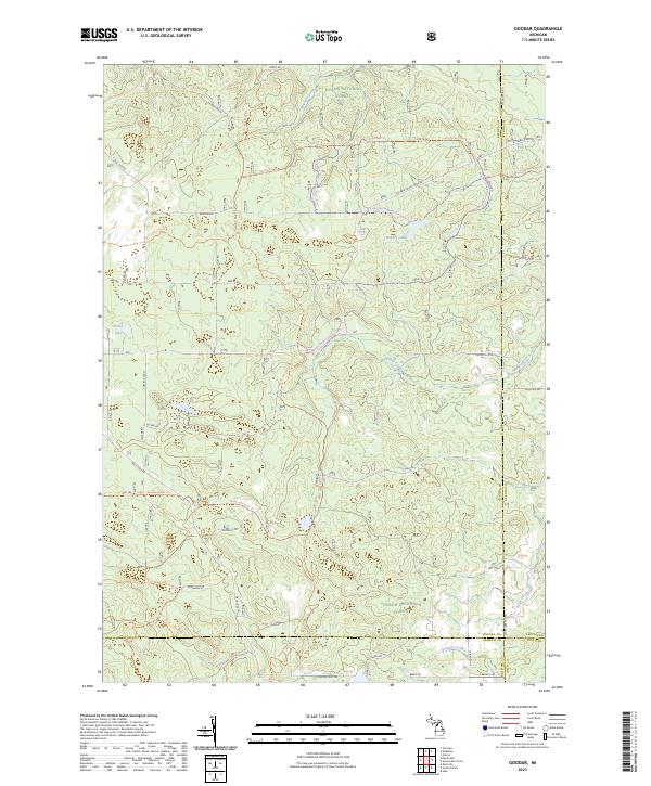
2023 Goodar
Oscoda County, MI
2023 Island Lake
Oscoda County, MI
2023 Luzerne
Oscoda County, MI
2023 Mack Lake
Oscoda County, MI
2023 McCollum Lake
Oscoda County, MI
2023 McKinley
Oscoda County, MI
2023 Oak Lake
Oscoda County, MI
2023 Red Oak
Oscoda County, MI
Featured Locations
- Alcona County, MI
- Mitchell Township, MI
- Comins Township, MI
- Mentor Township, MI
- McKinley, Mentor Township