
1972 Map of McCollum Lake
USGS Topo · Published 1975About this map
The Oscoda State Forest and Huron National Forest define this landscape at the intersection of Oscoda, Alcona, Alpena, and Montmorency counties. This 1970s survey captures a wilderness characterized by an intricate network of kettle lakes and wetlands, including McCollum Lake and the smaller Rienstein Lake to the north. The presence of multiple Old Railroad Grades cutting through the forest provides evidence of the region’s earlier logging history, marking the pathways where timber was once hauled toward the Upper South Branch Thunder Bay River. While predominantly undeveloped, localized human activity is visible through features like the Fonro Lodge Landing Strip and various Gravel Pits, alongside established routes like Perch Lake Road and McGinn Road.
Find a feature on this map
43 named features on this map. Tap any name to fly to it.
Don’t see what you’re looking for? This feature index may not catch every label — zoom into the map to look around manually.
Map Details
Editions of this 1972 McCollum Lake Map
This is the sole edition of this map. No revisions or reprints were ever made.
Other maps of this area

1954 · Traverse City
USGS Topo · 1:250,000

1954 · Tawas City
USGS Topo · 1:250,000

1955 · Comins
USGS Topo · 1:62,500

1958 · Traverse City
USGS Topo · 1:250,000

1958 · Tawas City
USGS Topo · 1:250,000

1972 · McKinley
USGS Topo · 1:24,000

1972 · Curran
USGS Topo · 1:24,000
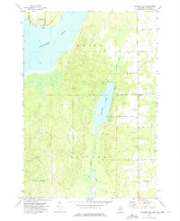
1972 · Beaver Lake
USGS Topo · 1:24,000
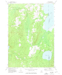
1972 · Rust
USGS Topo · 1:24,000
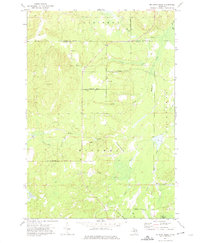
1972 · McGinn Creek
USGS Topo · 1:24,000