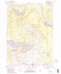
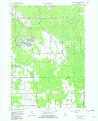
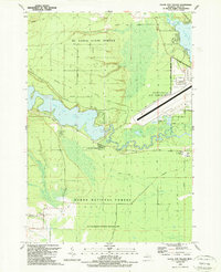
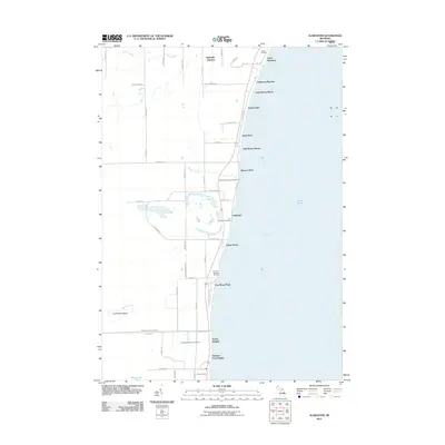
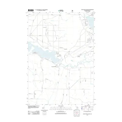
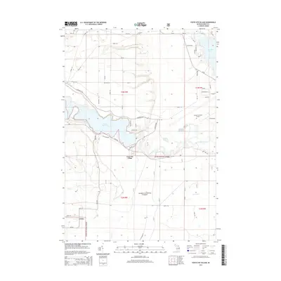
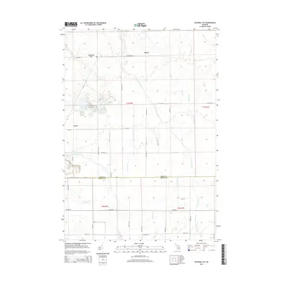
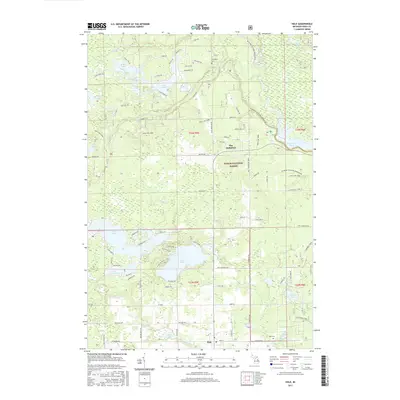
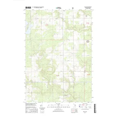
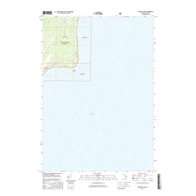
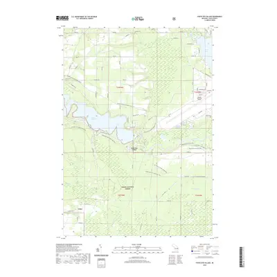
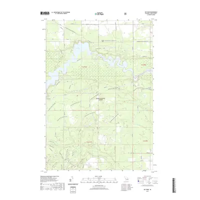
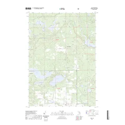
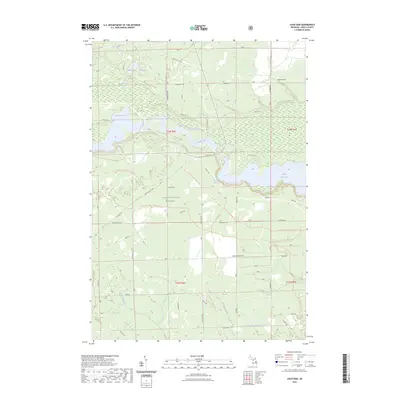
1968 Map of Hale
USGS Topo · Published 1984About this map
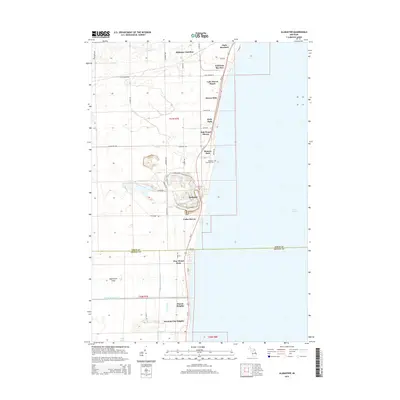
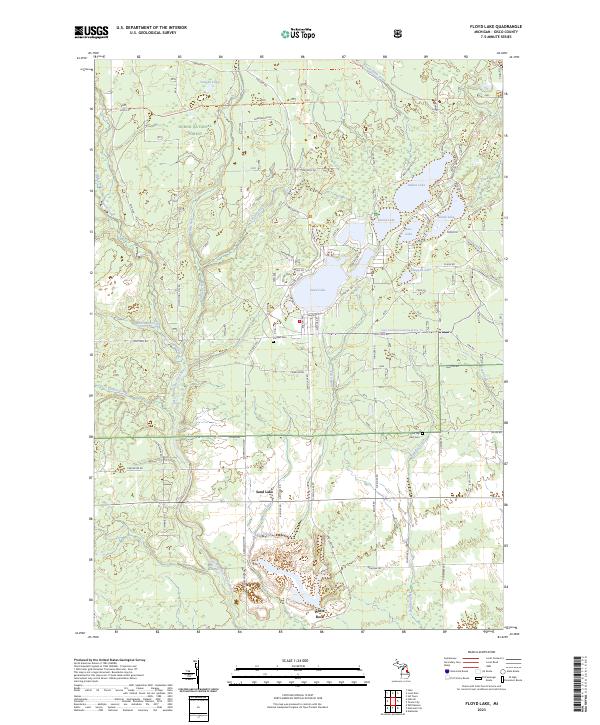
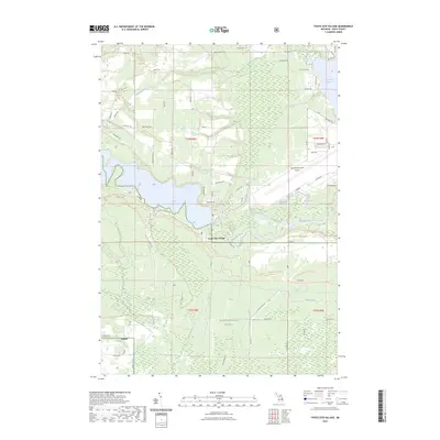
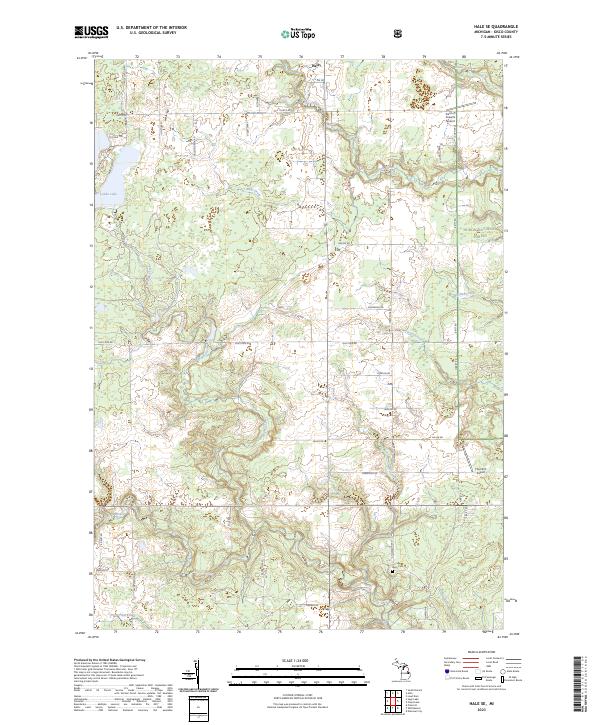
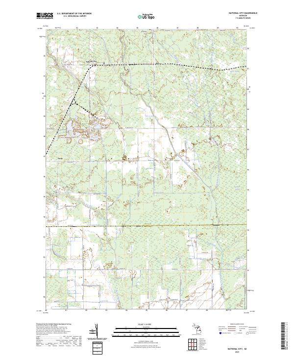
The Huron National Forest dominates this landscape in northeastern Michigan, where the meandering Au Sable River cuts through the northeast corner near Loud Dam Pond. This 1960s-era survey reveals a densely hydrated terrain of glacially formed basins, including Long Lake, Loon Lake, and the connected Chain Lakes. The settlement of Hale serves as the local anchor, surrounded by recreational landmarks such as Camp Maqua Girl Scout and Plainfield Park.
Find a feature on this map
43 named features on this map. Tap any name to fly to it.
Don’t see what you’re looking for? This feature index may not catch every label — zoom into the map to look around manually.
Map Details
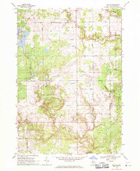
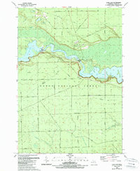
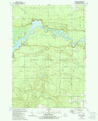
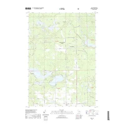
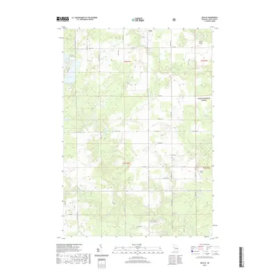
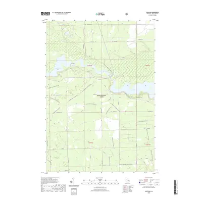
Editions of this 1968 Hale Map
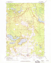
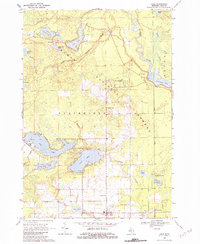
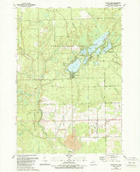
Historical Maps of Plainfield Township Through Time
60 maps found
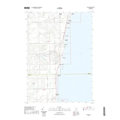
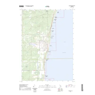
1966 Alabaster
Iosco County, MI
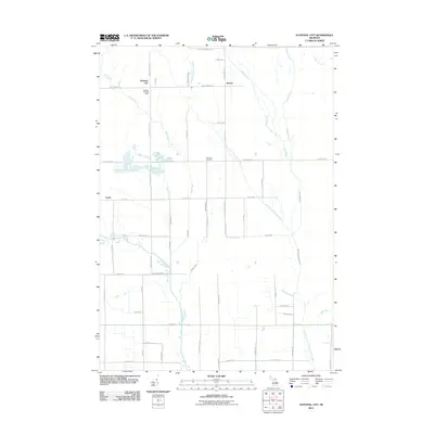
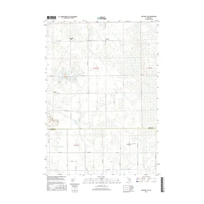
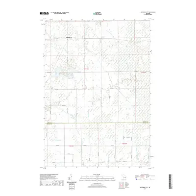
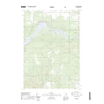
1966 National City
Iosco County, MI
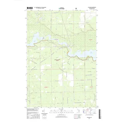
1968 Hale
Iosco County, MI
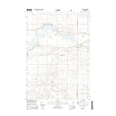
1968 Hale SE
Iosco County, MI
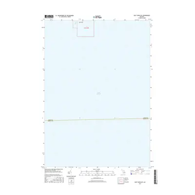
1984 Pointe Aux Barques
Iosco County, MI
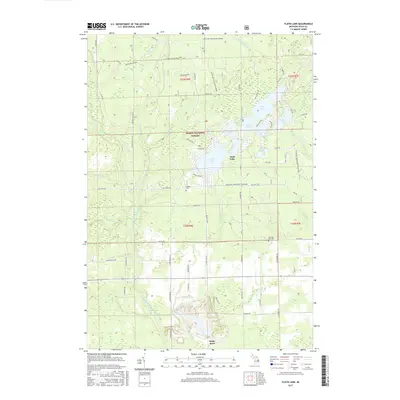
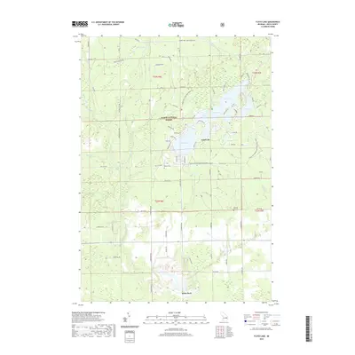
1989 Floyd Lake
Iosco County, MI
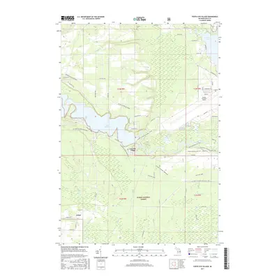
1989 Foote Site Village
Iosco County, MI
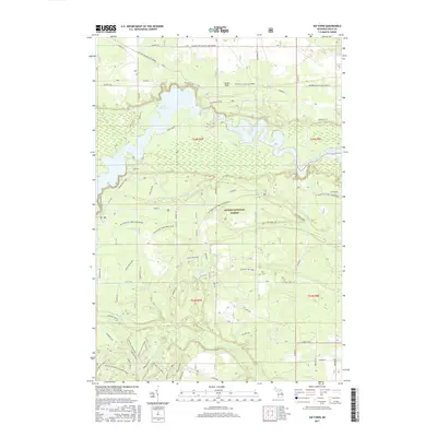
1989 Loud Dam
Iosco County, MI
1989 Sid Town
Iosco County, MI
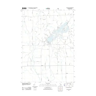
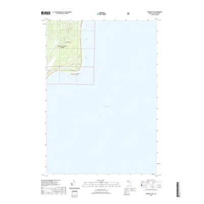
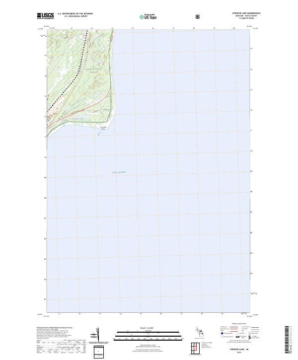
1989 Spencer Lake
Iosco County, MI
2011 Alabaster
Iosco County, MI
2011 East Tawas OE S
Iosco County, MI
2011 National City
Iosco County, MI
2012 Floyd Lake
Iosco County, MI
2012 Foote Site Village
Iosco County, MI
2012 Hale
Iosco County, MI
2012 Hale SE
Iosco County, MI
2012 Loud Dam
Iosco County, MI

2012 Sid Town
Iosco County, MI
2012 Spencer Lake
Iosco County, MI
2014 Alabaster
Iosco County, MI
2014 East Tawas OE S
Iosco County, MI
2014 Floyd Lake
Iosco County, MI
2014 Foote Site Village
Iosco County, MI
2014 Hale
Iosco County, MI
2014 Hale SE
Iosco County, MI
2014 Loud Dam
Iosco County, MI
2014 National City
Iosco County, MI
2014 Sid Town
Iosco County, MI
2014 Spencer Lake
Iosco County, MI
2017 Alabaster
Iosco County, MI
2017 East Tawas OE S
Iosco County, MI
2017 Floyd Lake
Iosco County, MI
2017 Foote Site Village
Iosco County, MI
2017 Hale
Iosco County, MI
2017 Hale SE
Iosco County, MI
2017 Loud Dam
Iosco County, MI
2017 National City
Iosco County, MI
2017 Sid Town
Iosco County, MI
2017 Spencer Lake
Iosco County, MI
2019 Alabaster
Iosco County, MI
2019 East Tawas OE S
Iosco County, MI
2019 Floyd Lake
Iosco County, MI
2019 Foote Site Village
Iosco County, MI
2019 Hale
Iosco County, MI
2019 Hale SE
Iosco County, MI
2019 Loud Dam
Iosco County, MI
2019 National City
Iosco County, MI
2019 Sid Town
Iosco County, MI
2019 Spencer Lake
Iosco County, MI
2023 Alabaster
Iosco County, MI
2023 East Tawas OE S
Iosco County, MI
2023 Floyd Lake
Iosco County, MI
2023 Foote Site Village
Iosco County, MI
2023 Hale
Iosco County, MI
2023 Hale SE
Iosco County, MI
2023 Loud Dam
Iosco County, MI
2023 National City
Iosco County, MI
2023 Sid Town
Iosco County, MI
2023 Spencer Lake
Iosco County, MI
Featured Locations
- Oscoda Township, MI
- Plainfield Township, MI
- Hale, Plainfield Township
- Long Lake, Plainfield Township
- The Jackpines, Plainfield Township