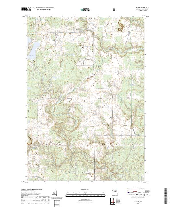
2023 Map of Hale SE
USGS Topo · Published 2023About this map
The settlement of Hale serves as the northern anchor for this landscape where the wooded expanses of the Huron National Forest meet the organized grids of agricultural and residential development in Iosco County. The drainage network is particularly dense here, defined by the winding course of the Au Gres River and its various tributaries including Hale Creek, Mitchell Creek, and the Addy Drain. These waterways suggest a low-lying, well-watered terrain that has long influenced local movement and land use.
Find a feature on this map
51 named features on this map. Tap any name to fly to it.
Don’t see what you’re looking for? This feature index may not catch every label — zoom into the map to look around manually.
Map Details
Editions of this 2023 Hale SE Map
This is the sole edition of this map. No revisions or reprints were ever made.
Other maps of this area

1954 · Tawas City
USGS Topo · 1:250,000

1958 · Tawas City
USGS Topo · 1:250,000

1959 · Tawas City
USGS Topo · 1:62,500

1966 · National City
USGS Topo · 1:24,000

1968 · Hale
USGS Topo · 1:24,000

1968 · Prescott
USGS Topo · 1:24,000

1968 · Whittemore
USGS Topo · 1:24,000

1968 · Sage Lake
USGS Topo · 1:24,000

1968 · South Branch
USGS Topo · 1:24,000

1968 · Hale SE
USGS Topo · 1:24,000