Loading...
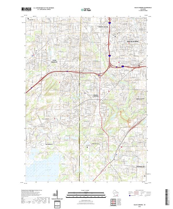
Loading map...2022 Map of Hales Corners
USGS Topo · Published 2022About this map
Hales Corners and its neighboring communities in Milwaukee and Waukesha Counties are documented here in high detail, showcasing a landscape where suburban development meets significant glacial water features. The southeastern portion of the quadrangle is dominated by the sprawling Whitnall Park and the winding course of the Root River, while the southwestern corner transitions into the wetlands and open water of Muskego Lake and Bass Bay.
Find a feature on this map
128 named features on this map. Tap any name to fly to it.
Don’t see what you’re looking for? This feature index may not catch every label — zoom into the map to look around manually.
Map Details
Date Portrayed2022
Date Published2022
PublisherU.S. Geological Survey
Map TypeTopographic
Scale1:24000
Physical Dimensions24 x 29 inches
Editions of this 2022 Hales Corners Map
This is the sole edition of this map. No revisions or reprints were ever made.
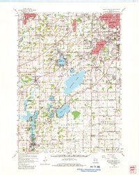
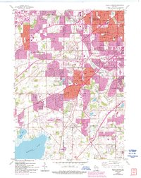
Historical Maps of Milwaukee Through Time
3 maps found
Featured Locations
Source Details
SourceU.S. Geological Survey
CopyrightPublic Domain