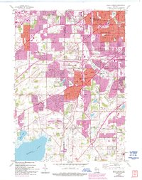
1959 Map of Hales Corners
USGS Topo · Published 1994About this map
The Waukesha and Milwaukee County line divides this mid-century landscape as suburban expansion begins to blend into the agricultural margins of southeastern Wisconsin. While the northern reaches show the early residential densification of West Allis and Greenfield, the southern section retains a more rural character focused around St Martins and the Sacred Heart Monastery. Significant local history is preserved in the detailed mapping of crossroads settlements like Tess Corners and the complex of the County House of Correction near Franklin.
Find a feature on this map
47 named features on this map. Tap any name to fly to it.
Don’t see what you’re looking for? This feature index may not catch every label — zoom into the map to look around manually.
Map Details
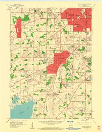
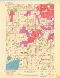
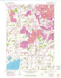
Editions of this 1959 Hales Corners Map
4 editions found
Other maps of this area

1891 · Bayview
USGS Topo · 1:62,500

1891 · Muskego
USGS Topo · 1:62,500

1892 · Milwaukee
USGS Topo · 1:62,500

1892 · Waukesha
USGS Topo · 1:62,500

1901 · Milwaukee
USGS Topo · 1:62,500

1901 · Waukesha
USGS Topo · 1:62,500

1901 · Bayview
USGS Topo · 1:62,500

1901 · Muskego
USGS Topo · 1:62,500

1906 · Waukesha
USGS Topo · 1:62,500

1906 · Milwaukee
USGS Topo · 1:62,500