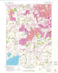
1959 Map of Hales Corners
USGS Topo · Published 1977About this map
St Martins and Tess Corners sit at the intersection of a rapidly urbanizing landscape where Milwaukee County meets WaukesHA County during the mid-twentieth century. This survey documents the post-war suburban expansion through the sprawling residential networks of Hales Corners, Greenfield, and New Berlin. The map records a time when aviation and infrastructure were integral to local growth, featuring the Hales Corners Airport and the developing Airport Freeway and Rock Freeway corridors.
Find a feature on this map
73 named features on this map. Tap any name to fly to it.
Don’t see what you’re looking for? This feature index may not catch every label — zoom into the map to look around manually.
Map Details
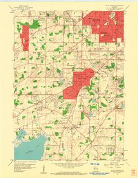
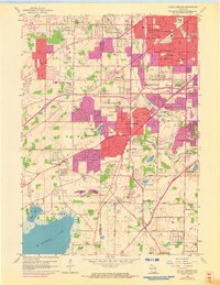
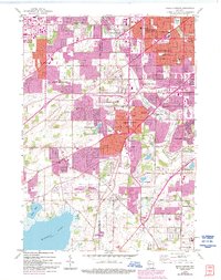
Editions of this 1959 Hales Corners Map
4 editions found
Other maps of this area

1891 · Bayview
USGS Topo · 1:62,500

1891 · Muskego
USGS Topo · 1:62,500

1892 · Milwaukee
USGS Topo · 1:62,500

1892 · Waukesha
USGS Topo · 1:62,500

1901 · Milwaukee
USGS Topo · 1:62,500

1901 · Waukesha
USGS Topo · 1:62,500

1901 · Bayview
USGS Topo · 1:62,500

1901 · Muskego
USGS Topo · 1:62,500

1906 · Waukesha
USGS Topo · 1:62,500

1906 · Milwaukee
USGS Topo · 1:62,500