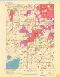
1959 Map of Hales Corners
USGS Topo · Published 1973About this map
Hales Corners and the surrounding suburban expansion of Greenfield and West Allis are captured here during a significant period of growth. The map illustrates the transition from rural agricultural land to organized residential districts, with purple-shaded areas indicating updated urban extent as of the early 1970s. Historical local landmarks such as the Hales Corners Airport and the Sacred Heart Monastery reflect the varied land use of the mid-20th century.
Find a feature on this map
63 named features on this map. Tap any name to fly to it.
Don’t see what you’re looking for? This feature index may not catch every label — zoom into the map to look around manually.
Map Details
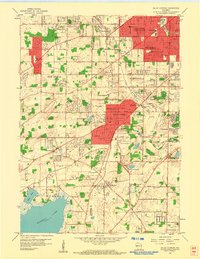
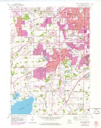
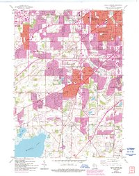
Editions of this 1959 Hales Corners Map
4 editions found
Other maps of this area

1891 · Bayview
USGS Topo · 1:62,500

1891 · Muskego
USGS Topo · 1:62,500

1892 · Milwaukee
USGS Topo · 1:62,500

1892 · Waukesha
USGS Topo · 1:62,500

1901 · Milwaukee
USGS Topo · 1:62,500

1901 · Waukesha
USGS Topo · 1:62,500

1901 · Bayview
USGS Topo · 1:62,500

1901 · Muskego
USGS Topo · 1:62,500

1906 · Waukesha
USGS Topo · 1:62,500

1906 · Milwaukee
USGS Topo · 1:62,500