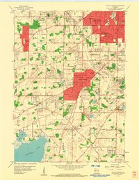
1959 Map of Hales Corners
USGS Topo · Published 1960About this map
Hales Corners and its neighboring townships in the late 1950s show a transition from agricultural roots to suburban expansion southwest of Milwaukee. The landscape is characterized by its glacial geology, featuring several kettle lakes such as Upper Kelly Lake, Lower Kelly Lake, and the expansive Muskego Lake with its Bass Bay. Local infrastructure at this time included the Hales Corners Airport and the County House of Correction to the southeast. Educational and religious institutions are well-represented, from Holy Apostles Sch in the west to the Sacred Heart Monastery near St Martins. The area also retains evidence of its physical economy through numerous Gravel Pits scattered near the Root River. A Drive-in Theater near the Waukesha county line highlights the mid-century social landscape, while established settlements like Tess Corners and Greendale anchor the residential developments.
Find a feature on this map
64 named features on this map. Tap any name to fly to it.
Don’t see what you’re looking for? This feature index may not catch every label — zoom into the map to look around manually.
Map Details
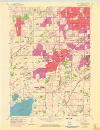
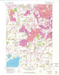
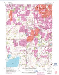
Editions of this 1959 Hales Corners Map
4 editions found
Other maps of this area

1891 · Bayview
USGS Topo · 1:62,500

1891 · Muskego
USGS Topo · 1:62,500

1892 · Milwaukee
USGS Topo · 1:62,500

1892 · Waukesha
USGS Topo · 1:62,500

1901 · Milwaukee
USGS Topo · 1:62,500

1901 · Waukesha
USGS Topo · 1:62,500

1901 · Bayview
USGS Topo · 1:62,500

1901 · Muskego
USGS Topo · 1:62,500

1906 · Waukesha
USGS Topo · 1:62,500

1906 · Milwaukee
USGS Topo · 1:62,500