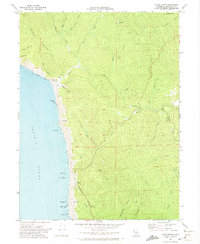
1970 Map of Hales Grove
USGS Topo · Published 1974About this map
Cottaneva Valley and the surrounding Mendocino County ridges are defined by a complex network of coastal drainages and historical ranching activity in the early 1970s. The settlement of Hales Grove serves as a small interior hub, while Dutchmans Flat and the DeVilbiss Ranch mark localized sites of habitation and land use. Along the western edge, the rugged coastline is dotted with maritime landmarks like Shoreline Rock, Usal Rock, and Sea Lion Rock, highlighting the interface between the Pacific Ocean and the steep terrain of Timber Ridge.
Find a feature on this map
42 named features on this map. Tap any name to fly to it.
Don’t see what you’re looking for? This feature index may not catch every label — zoom into the map to look around manually.
Map Details
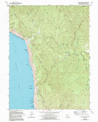
Editions of this 1970 Hales Grove Map
2 editions found
Other maps of this area

1920 · Cummings
USGS Topo · 1:62,500

1921 · Westport
USGS Topo · 1:62,500

1921 · Branscomb
USGS Topo · 1:62,500

1950 · Piercy
USGS Topo · 1:62,500

1950 · Cape Vizcaino
USGS Topo · 1:62,500

1951 · Cape Vizcaino
USGS Topo · 1:62,500

1951 · Branscomb
USGS Topo · 1:62,500

1952 · Leggett
USGS Topo · 1:62,500

1957 · Ukiah
USGS Topo · 1:250,000

1960 · Ukiah
USGS Topo · 1:250,000