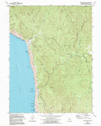
1970 Map of Hales Grove
USGS Topo · Published 1994About this map
Timber Ridge and the steep coastal canyons of the Lost Coast dominate this topography as it was mapped in 1970 and updated in the 1990s. The remote settlement of Hales Grove sits at the junction of the South Fork and North Fork of the Usal Creek system, a landscape defined by industrial logging and rugged access via Usal Road. Along the Pacific shoreline, notable sea stacks like Usal Rock and Sea Lion Rock sit offshore from Soldier Frank Point, while the interior shows the legacy of land use through features like Julias Opening and the Gravel Pit. The map captures a period of transition toward conservation, documenting the Sinkyone State Wilderness Park and the western edge of the Standish-Hickey State Recreation Area. Small family-named locales such as DeVilbiss Ranch and Soldier Frank Hill provide valuable points of reference for local historians and genealogists tracking the remote homesteads of northern Mendocino County.
Find a feature on this map
47 named features on this map. Tap any name to fly to it.
Don’t see what you’re looking for? This feature index may not catch every label — zoom into the map to look around manually.
Map Details
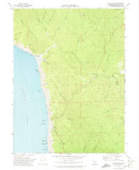
Editions of this 1970 Hales Grove Map
2 editions found
Other maps of this area

1920 · Cummings
USGS Topo · 1:62,500

1921 · Westport
USGS Topo · 1:62,500

1921 · Branscomb
USGS Topo · 1:62,500

1950 · Piercy
USGS Topo · 1:62,500

1950 · Cape Vizcaino
USGS Topo · 1:62,500

1951 · Cape Vizcaino
USGS Topo · 1:62,500

1951 · Branscomb
USGS Topo · 1:62,500

1952 · Leggett
USGS Topo · 1:62,500

1957 · Ukiah
USGS Topo · 1:250,000

1960 · Ukiah
USGS Topo · 1:250,000