
1974 Map of Halifax
USGS Topo · Published 1977About this map
The Roanoke River carves a dramatic bend around Occoneechee Neck, a prominent peninsula of low-lying agricultural land and wetlands in the coastal plain. Along the western bluffs, the historic settlement of Halifax serves as a focal point, situated where the Seaboard Coast Line railroad and local highways converge. This mid-1970s landscape reveals a mix of institutional and rural character, from the State Prison and County Technical Institute north of town to scattered farm communities like Pender, Ruggles, and Pea Hill. The geography is defined by its drainage patterns, where Little Quankey and Quankey Creek feed into the Roanoke, while the southern reaches transition into the dense vegetation of Conoconnara Swamp and Marsh Swamp. Small landmarks of community life, including Little Zion Ch and Jackson Sch, are preserved alongside the rail infrastructure that once drove the region's economy.
Find a feature on this map
22 named features on this map. Tap any name to fly to it.
Don’t see what you’re looking for? This feature index may not catch every label — zoom into the map to look around manually.
Map Details
Editions of this 1974 Halifax Map
This is the sole edition of this map. No revisions or reprints were ever made.
Other maps of this area

1953 · Norfolk
USGS Topo · 1:250,000

1960 · Dawson Crossroads
USGS Topo · 1:24,000

1961 · Enfield
USGS Topo · 1:24,000

1962 · Scotland Neck
USGS Topo · 1:24,000

1974 · Boones Crossroads
USGS Topo · 1:24,000
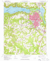
1974 · Roanoke Rapids
USGS Topo · 1:24,000
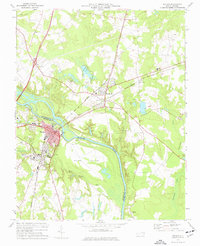
1974 · Weldon
USGS Topo · 1:24,000

1974 · Darlington
USGS Topo · 1:24,000
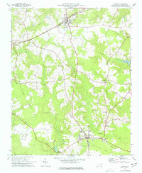
1974 · Jackson
USGS Topo · 1:24,000
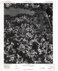
1975 · Roanoke Rapids
USGS Topo · 1:24,000