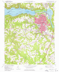
1974 Map of Roanoke Rapids
USGS Topo · Published 1977About this map
Roanoke Rapids and its industrial corridor dominate this mid-1970s landscape, illustrating the heavy influence of the Roanoke River on local development. The city center is densely mapped with civic infrastructure, including the Filtration Plant, City Hall, and numerous neighborhood institutions like the Akers Sch and Manning Sch. The industrial character of the era is evident in the Industrial Waste Ponds along the river and the Gravel Pit near Rosemary.
Find a feature on this map
66 named features on this map. Tap any name to fly to it.
Don’t see what you’re looking for? This feature index may not catch every label — zoom into the map to look around manually.
Map Details
Editions of this 1974 Roanoke Rapids Map
2 editions found
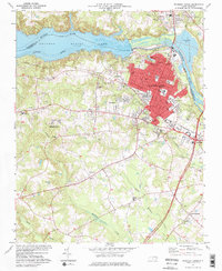
Other maps of this area

1919 · White Plains
USGS Topo · 1:48,000

1919 · Emporia
USGS Topo · 1:62,500

1920 · White Plains
USGS Topo · 1:62,500

1942 · Emporia
USGS Topo · 1:62,500

1953 · Norfolk
USGS Topo · 1:250,000

1963 · Skippers
USGS Topo · 1:24,000

1963 · Barley
USGS Topo · 1:24,000

1963 · Valentines
USGS Topo · 1:24,000

1973 · Aurelian Springs
USGS Topo · 1:24,000
1973 · Thelma
USGS Topo · 1:24,000