
1963 Map of Skippers
USGS Topo · Published 1964About this map
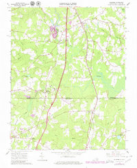
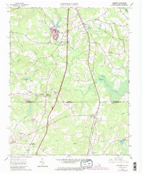
Skippers serves as a central hub on this landscape, positioned where the Atlantic Coast Line railroad and local routes intersect just north of the Virginia North Carolina border. The map captures a transition in local industry, with extensive Gravel Pits and the Trego Quarry clustered near the rail line, indicating the importance of mineral extraction in the 1960s economy of Greensville Co. To the south, the terrain levels out into Pleasant Hill, where the land is punctuated by family burial grounds and community landmarks like Wyche Cem and Faithful Band Ch. The intricate drainage patterns of Fontaine Creek and its many tributaries, such as Massie Branch, dictate the placement of early infrastructure, including Mitchells Mill and the crossing at Turners Crossroads. These features provide a clear view of how water, rail, and road systems shaped this border region.
Find a feature on this map
49 named features on this map. Tap any name to fly to it.
Don’t see what you’re looking for? This feature index may not catch every label — zoom into the map to look around manually.
Map Details
Editions of this 1963 Skippers Map
Other maps of this area

1919 · Emporia
USGS Topo · 1:62,500

1919 · Arringdale
USGS Topo · 1:48,000

1920 · Arringdale
USGS Topo · 1:62,500

1942 · Arringdale
USGS Topo · 1:62,500

1942 · Emporia
USGS Topo · 1:62,500

1953 · Norfolk
USGS Topo · 1:250,000

1963 · Barley
USGS Topo · 1:24,000

1963 · Emporia
USGS Topo · 1:24,000

1963 · Ante
USGS Topo · 1:24,000
1966 · Adams Grove
USGS Topo · 1:24,000