
1963 Map of Emporia
USGS Topo · Published 1964About this map
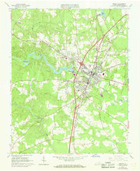
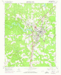
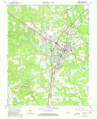
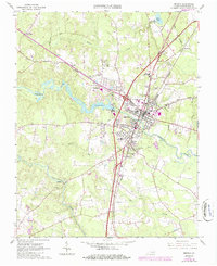
The Emporia landscape in the early 1960s serves as a primary transit hub where the Norfolk and Danville and Atlantic Coast Line railroads intersect the Meherrin River. This survey captures the town's mid-century civic expansion, evidenced by the Greensville Memorial Hospital, the County High School, and a Drive-in Theater situated near Kingsberry. Beyond the municipal center, the map documents a network of rural communities and crossroads, such as Bufford Crossroads and Moonlight. The southern reaches are defined by the winding course of Fontaine Creek and the lowlands of Mill Swamp, while numerous family and community landmarks, including Jones Cemetery and St Johns Ch, provide essential data points for local genealogists and historians tracing the settlement patterns of Greensville County.
Find a feature on this map
37 named features on this map. Tap any name to fly to it.
Don’t see what you’re looking for? This feature index may not catch every label — zoom into the map to look around manually.
Map Details
Editions of this 1963 Emporia Map
5 editions found
Other maps of this area

1919 · Jarratt
USGS Topo · 1:62,500

1919 · Mc Kenney
USGS Topo · 1:48,000

1919 · Emporia
USGS Topo · 1:62,500

1919 · Arringdale
USGS Topo · 1:48,000

1920 · Arringdale
USGS Topo · 1:62,500

1921 · Mc Kenney
USGS Topo · 1:62,500

1942 · Arringdale
USGS Topo · 1:62,500

1942 · Emporia
USGS Topo · 1:62,500

1943 · Mc Kenney
USGS Topo · 1:62,500

1951 · Jarratt
USGS Topo · 1:62,500