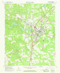
1963 Map of Emporia
USGS Topo · Published 1969About this map
Emporia serves as a critical junction in southern Virginia, where the Meherrin River meets a dense corridor of transportation infrastructure. The landscape is defined by the convergence of the Norfolk and Western Railway and the Seaboard Coast Line Railroad, reflecting the area's mid-century role as a regional transit hub. Beyond the urban center, smaller communities like Durand, Kingsberry, and Moonlight dot the terrain, which is otherwise heavily dissected by watercourses such as Falling Run and Fontaine Creek.
Find a feature on this map
38 named features on this map. Tap any name to fly to it.
Don’t see what you’re looking for? This feature index may not catch every label — zoom into the map to look around manually.
Map Details
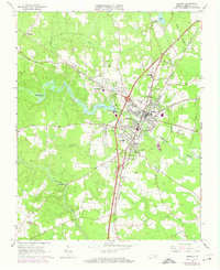
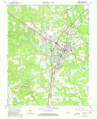
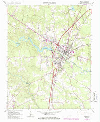
Editions of this 1963 Emporia Map
5 editions found

Other maps of this area

1919 · Jarratt
USGS Topo · 1:62,500

1919 · Mc Kenney
USGS Topo · 1:48,000

1919 · Emporia
USGS Topo · 1:62,500

1919 · Arringdale
USGS Topo · 1:48,000

1920 · Arringdale
USGS Topo · 1:62,500

1921 · Mc Kenney
USGS Topo · 1:62,500

1942 · Arringdale
USGS Topo · 1:62,500

1942 · Emporia
USGS Topo · 1:62,500

1943 · Mc Kenney
USGS Topo · 1:62,500

1951 · Jarratt
USGS Topo · 1:62,500