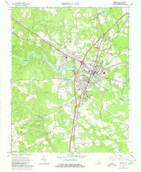
1963 Map of Emporia
USGS Topo · Published 1980About this map
The Meherrin River winds through this 1963 landscape, centering on the city of Emporia during a period of significant infrastructure development. The map details the convergence of major transportation arteries, including the Seaboard Coast Line Railroad and the Norfolk Franklin and Danville Railroad, which shaped the town's industrial and residential layout. Local community life is anchored by institutions like the Greensville Memorial Hospital and the County High Sch.
Find a feature on this map
43 named features on this map. Tap any name to fly to it.
Don’t see what you’re looking for? This feature index may not catch every label — zoom into the map to look around manually.
Map Details
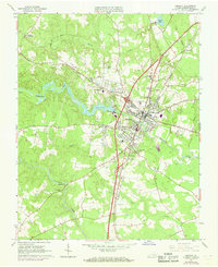
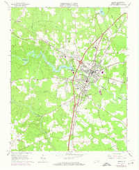
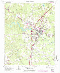
Editions of this 1963 Emporia Map
5 editions found

Other maps of this area

1919 · Jarratt
USGS Topo · 1:62,500

1919 · Mc Kenney
USGS Topo · 1:48,000

1919 · Emporia
USGS Topo · 1:62,500

1919 · Arringdale
USGS Topo · 1:48,000

1920 · Arringdale
USGS Topo · 1:62,500

1921 · Mc Kenney
USGS Topo · 1:62,500

1942 · Arringdale
USGS Topo · 1:62,500

1942 · Emporia
USGS Topo · 1:62,500

1943 · Mc Kenney
USGS Topo · 1:62,500

1951 · Jarratt
USGS Topo · 1:62,500