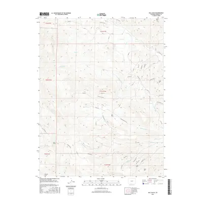
2016 Map of Hall Gulch
USGS Topo · Published 2016About this map
Taylor Soda Spring and the surrounding drainage network of N-Tallahassee Cr define this high-altitude landscape in Fremont County. The map provides a detailed view of the complex gulch systems, including the prominent Hall Gulch, Smith Gulch, and the curiously named Grandmother Gulch. The terrain is characterized by significant topographical shifts between Soapy Hill in the northeast and Table Mtn in the south. Recent residential and access development is evident through a dense network of local roads such as Rainbow Ridge Rd, Walker Dr, and Mountain Meadows. This area serves as a transition between the lower valley floors and the higher ridges, with crossings like Cimarron Xing E marking the travel routes through this portion of the Colorado backcountry.
Find a feature on this map
59 named features on this map. Tap any name to fly to it.
Don’t see what you’re looking for? This feature index may not catch every label — zoom into the map to look around manually.
Map Details
Editions of this 2016 Hall Gulch Map
This is the sole edition of this map. No revisions or reprints were ever made.
Other maps of this area

1889 · Canon City
USGS Topo · 1:125,000

1892 · Canon City
USGS Topo · 1:125,000

1894 · Pikes Peak
USGS Topo · 1:125,000

1901 · Pikes Peak
USGS Topo · 1:125,000

1942 · Cover Mtn.
USGS Topo · 1:62,500

1948 · Cover Mtn.
USGS Topo · 1:62,500

1954 · Pueblo
USGS Topo · 1:250,000

1957 · Pueblo
USGS Topo · 1:250,000

1958 · Pueblo
USGS Topo · 1:250,000

1959 · Black Mountain
USGS Topo · 1:62,500