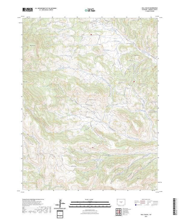
2023 Map of Hall Gulch
USGS Topo · Published 2023About this map
The mountain terrain of Fremont County is defined by high-elevation landmarks like Waugh Mtn and Burris Mtn, which overlook a network of deep drainages. Waters from Cottonwood Creek and Soapy Creek flow through the northern reaches, while the central and southern portions are dominated by the three branches of the Tallahassee — North Tallahassee Creek, Middle Tallahassee Creek, and South Tallahassee Creek. These waterways have carved significant landforms including Hall Gulch and Grandmother Gulch, creating a landscape that historically dictated the placement of mountain roads.
Find a feature on this map
61 named features on this map. Tap any name to fly to it.
Don’t see what you’re looking for? This feature index may not catch every label — zoom into the map to look around manually.
Map Details
Editions of this 2023 Hall Gulch Map
This is the sole edition of this map. No revisions or reprints were ever made.
Other maps of this area

1889 · Canon City
USGS Topo · 1:125,000

1892 · Canon City
USGS Topo · 1:125,000

1894 · Pikes Peak
USGS Topo · 1:125,000

1901 · Pikes Peak
USGS Topo · 1:125,000

1942 · Cover Mtn.
USGS Topo · 1:62,500

1948 · Cover Mtn.
USGS Topo · 1:62,500

1954 · Pueblo
USGS Topo · 1:250,000

1957 · Pueblo
USGS Topo · 1:250,000

1958 · Pueblo
USGS Topo · 1:250,000

1959 · Black Mountain
USGS Topo · 1:62,500