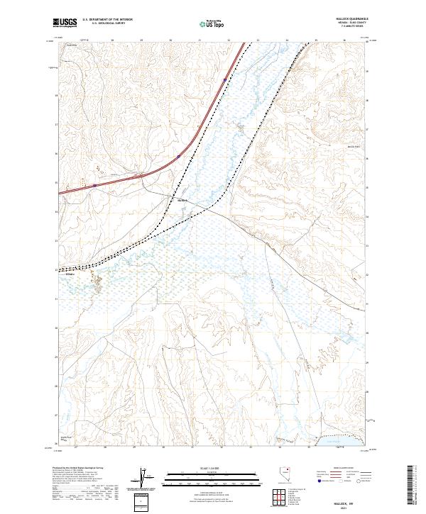
2021 Map of Halleck
USGS Topo · Published 2021About this map
The Humboldt River corridor defines this portion of Elko County, serving as the primary hydrological and transport artery for the settlements of Halleck and Elburz. This landscape is a complex network of drainages where Lamoille Cr, Secret Cr, and John Day Cr descend from the higher elevations to converge with the river. The presence of Lake Phyllis in the southeast corner and the expansive Dennis Flats to the east illustrate the transition between the river's floodplains and the high desert basins.
Find a feature on this map
21 named features on this map. Tap any name to fly to it.
Don’t see what you’re looking for? This feature index may not catch every label — zoom into the map to look around manually.
Map Details
Editions of this 2021 Halleck Map
This is the sole edition of this map. No revisions or reprints were ever made.
Other maps of this area

1935 · Halleck
USGS Topo · 1:125,000

1955 · Wells
USGS Topo · 1:250,000

1955 · Elko
USGS Topo · 1:250,000

1958 · Wells
USGS Topo · 1:250,000

1958 · Elko
USGS Topo · 1:250,000

1961 · Wells
USGS Topo · 1:250,000

1962 · Elko
USGS Topo · 1:250,000

1962 · Boyd Reservoir
USGS Topo · 1:24,000

1962 · Ryndon
USGS Topo · 1:24,000

1965 · Elko
USGS Topo · 1:250,000