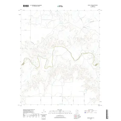
2019 Map of Halsell Ranch
USGS Topo · Published 2019About this map
Halsell Ranch sits at the heart of this North Texas cattle country, situated north of the winding North Wichita River. This 2019 survey documents a landscape of sparse ranching roads and water management features, where the river carves a complex, meandering path across the Foard and Knox County line. The terrain is defined by its drainage systems, including Middle Beaver Cr, S Beaver Cr, and Deadman Cr, which converge toward the river basin. Key local infrastructure is anchored by Halsell Lake and a network of county roads like Halsell Ranch Rd and Montgomery Ranch Rd, reflecting the continued importance of large-scale landholdings in this part of the Rolling Plains.
Find a feature on this map
20 named features on this map. Tap any name to fly to it.
Don’t see what you’re looking for? This feature index may not catch every label — zoom into the map to look around manually.
Map Details
Editions of this 2019 Halsell Ranch Map
This is the sole edition of this map. No revisions or reprints were ever made.
Other maps of this area

1954 · Wichita Falls
USGS Topo · 1:250,000

1958 · Wichita Falls
USGS Topo · 1:250,000

1966 · Truscott North
USGS Topo · 1:24,000

1966 · Colwell Creek
USGS Topo · 1:24,000

1966 · Truscott South
USGS Topo · 1:24,000

1966 · Halsell Ranch
USGS Topo · 1:24,000

1966 · Gilliland
USGS Topo · 1:24,000

1966 · Crowell
USGS Topo · 1:24,000

1966 · Vera
USGS Topo · 1:24,000

1966 · Thalia
USGS Topo · 1:24,000