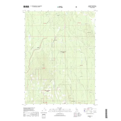
2018 Map of Hambone
USGS Topo · Published 2018About this map
Shasta National Forest dominates this Siskiyou County landscape, where timber management and rugged topography define the land use patterns. The small settlement of Hambone sits at the junction of Mayfield Rd and Hambone Rd, serving as a focal point for a network of forest access routes including Cedar Rim and Powder Hill (FA49). To the west, the minor settlement of Slagger reflects the area's industrial or logging-related history.
Find a feature on this map
24 named features on this map. Tap any name to fly to it.
Don’t see what you’re looking for? This feature index may not catch every label — zoom into the map to look around manually.
Map Details
Editions of this 2018 Hambone Map
This is the sole edition of this map. No revisions or reprints were ever made.
Other maps of this area

1886 · Modoc Lava Bed
USGS Topo · 1:250,000

1892 · Modoc Lava-Bed
USGS Topo · 1:250,000
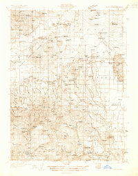
1932 · Bartle
USGS Topo · 1:96,000
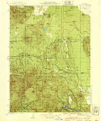
1939 · Bartle
USGS Topo · 1:125,000

1954 · Alturas
USGS Topo · 1:250,000

1958 · Alturas
USGS Topo · 1:250,000
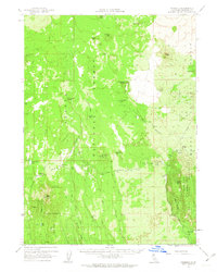
1961 · Hambone
USGS Topo · 1:62,500
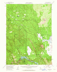
1961 · Pondosa
USGS Topo · 1:62,500
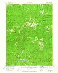
1961 · Big Bend
USGS Topo · 1:62,500
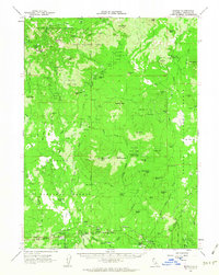
1961 · Bartle
USGS Topo · 1:62,500