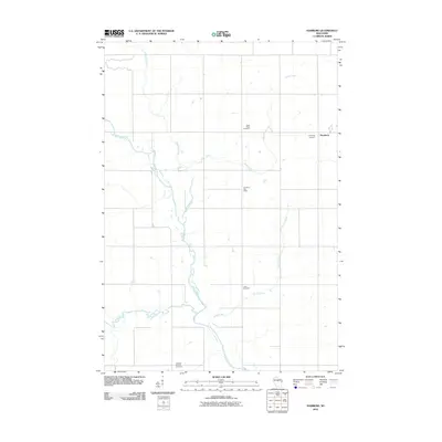
2010 Map of Hamburg
USGS Topo · Published 2010About this map
The Big Rib River winds through this central Wisconsin landscape, defining the topography of Marathon County at the start of the 21st century. The settlement of Hamburg sits at the eastern edge of the quadrangle, serving as a focal point for the surrounding rural area. This mapping highlights a community deeply connected to its local heritage and agricultural roots, evidenced by several family and parish burial grounds.
Find a feature on this map
11 named features on this map. Tap any name to fly to it.
Don’t see what you’re looking for? This feature index may not catch every label — zoom into the map to look around manually.
Map Details
Editions of this 2010 Hamburg Map
This is the sole edition of this map. No revisions or reprints were ever made.
Other maps of this area

1902 · Marathon
USGS Topo · 1:125,000

1951 · Athens
USGS Topo · 1:48,000

1951 · Hamburg
USGS Topo · 1:48,000

1953 · Marathon
USGS Topo · 1:48,000

1953 · Stratford
USGS Topo · 1:48,000

1953 · Eau Claire
USGS Topo · 1:250,000

1953 · Rice Lake
USGS Topo · 1:250,000

1954 · Iron Mountain
USGS Topo · 1:250,000

1955 · Green Bay
USGS Topo · 1:250,000

1958 · Eau Claire
USGS Topo · 1:250,000