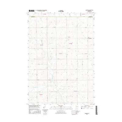
2015 Map of Hamburg
USGS Topo · Published 2015About this map
The Big Rib River winds through the southern landscape of this central Wisconsin territory, marking a terrain defined by its watercourses and rural townships. The settlement of Hamburg sits near the eastern edge, serving as a focal point for the surrounding agricultural community. The map reveals a dense network of local roads such as Naugart Dr and Washington Dr that connect scattered farmsteads across the township lines of t30n r5e and t29n r5e. Genealogical interest is found in several established burial grounds, including Saint Pauls Cem and the Lueck Cem, which are situated along the secondary routes north of the river. Numerous smaller tributaries like McGinnis Cr and Grass Cr feed into the larger river system, illustrating the natural drainage patterns that have influenced land use and road placement in Marathon County.
Find a feature on this map
38 named features on this map. Tap any name to fly to it.
Don’t see what you’re looking for? This feature index may not catch every label — zoom into the map to look around manually.
Map Details
Editions of this 2015 Hamburg Map
This is the sole edition of this map. No revisions or reprints were ever made.
Other maps of this area

1902 · Marathon
USGS Topo · 1:125,000

1951 · Athens
USGS Topo · 1:48,000

1951 · Hamburg
USGS Topo · 1:48,000

1953 · Marathon
USGS Topo · 1:48,000

1953 · Stratford
USGS Topo · 1:48,000

1953 · Eau Claire
USGS Topo · 1:250,000

1953 · Rice Lake
USGS Topo · 1:250,000

1954 · Iron Mountain
USGS Topo · 1:250,000

1955 · Green Bay
USGS Topo · 1:250,000

1958 · Eau Claire
USGS Topo · 1:250,000