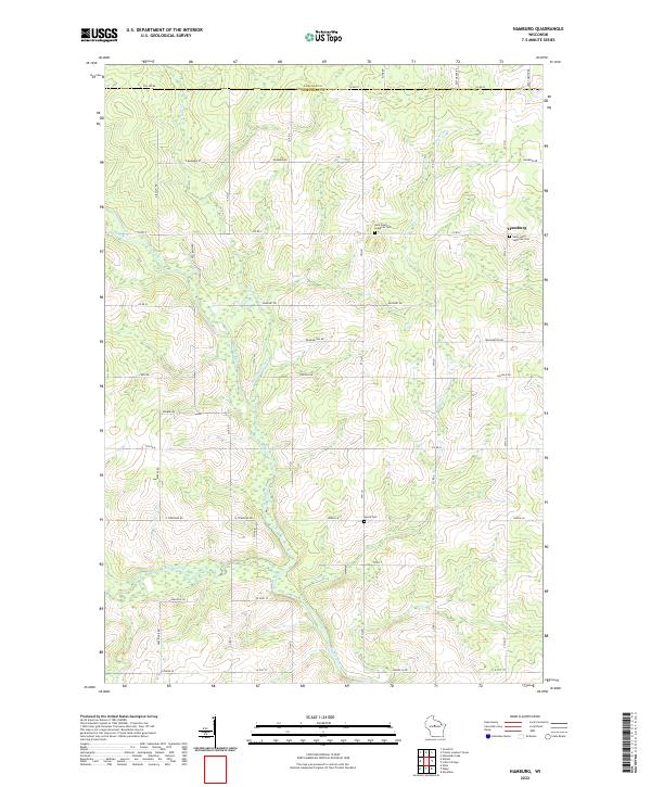
2022 Map of Hamburg
USGS Topo · Published 2022About this map
The Big Rib River meanders southward through this rural Marathon County landscape, carving a valley defined by numerous small tributaries and a strictly gridded road network. Near the eastern edge of the survey, the community of Hamburg serves as a local hub, anchored by the Saint Johns Lutheran Cem and Saint Pauls Lutheran Cem. These sites, along with the more remote Lueck Cem, provide important landmarks for genealogical research in this long-established agricultural region.
Find a feature on this map
61 named features on this map. Tap any name to fly to it.
Don’t see what you’re looking for? This feature index may not catch every label — zoom into the map to look around manually.
Map Details
Editions of this 2022 Hamburg Map
This is the sole edition of this map. No revisions or reprints were ever made.
Other maps of this area

1902 · Marathon
USGS Topo · 1:125,000

1951 · Athens
USGS Topo · 1:48,000

1951 · Hamburg
USGS Topo · 1:48,000

1953 · Marathon
USGS Topo · 1:48,000

1953 · Stratford
USGS Topo · 1:48,000

1953 · Eau Claire
USGS Topo · 1:250,000

1953 · Rice Lake
USGS Topo · 1:250,000

1954 · Iron Mountain
USGS Topo · 1:250,000

1955 · Green Bay
USGS Topo · 1:250,000

1958 · Eau Claire
USGS Topo · 1:250,000