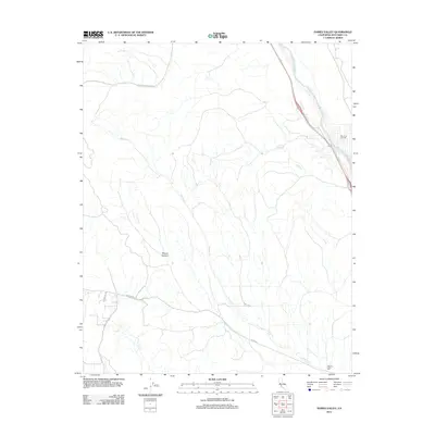
2012 Map of Hames Valley
USGS Topo · Published 2012About this map
The Salinas River corridor defines the eastern edge of this Monterey County landscape, where the valley floor transitions into the complex drainage systems of the southern Coast Ranges. In the early 21st century, the San Ardo Oil Field stands as a primary industrial landmark, indicating the region's long-standing reliance on petroleum extraction. The drainage of Hames Cr carves a path through the center of the sheet, originating near Mincey Canyon and winding toward the southern valley reaches. Cultural markers like the Hames Valley Hall and a network of rural routes including Jolon Rd and Lockwood-San Ardo Rd reflect a sparsely populated agricultural and ranching interior. Water remains a critical element for this arid terrain, evidenced by the presence of Los Lobos Spring and the seasonal creek beds that feed into the larger river system.
Find a feature on this map
13 named features on this map. Tap any name to fly to it.
Don’t see what you’re looking for? This feature index may not catch every label — zoom into the map to look around manually.
Map Details
Editions of this 2012 Hames Valley Map
This is the sole edition of this map. No revisions or reprints were ever made.
Other maps of this area

1912 · San Ardo
USGS Topo · 1:31,680

1915 · Priest Valley
USGS Topo · 1:125,000

1919 · King City
USGS Topo · 1:62,500

1919 · Bryson
USGS Topo · 1:62,500

1919 · Bradley
USGS Topo · 1:62,500

1939 · King City
USGS Topo · 1:62,500

1941 · San Ardo
USGS Topo · 1:62,500

1941 · Bradley
USGS Topo · 1:62,500

1941 · Bryson
USGS Topo · 1:62,500

1942 · Bryson
USGS Topo · 1:62,500