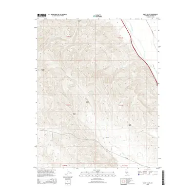
2015 Map of Hames Valley
USGS Topo · Published 2015About this map
Hames Valley and the surrounding drainage of the Salinas River define this corner of southern Monterey County. The landscape is characterized by deeply etched terrain including Garrissere Canyon, Williams Canyon, and Mincey Canyon, which feed into the central drainage of Hames Cr. The map captures the agricultural and ranching layout of the early 21st century, where large property boundaries are bisected by historic transportation routes like Jolon Rd and Sargents Rd. The northeastern corner is dominated by the river corridor and the alignment of Highway 101, contrasting with the more secluded reaches of Swain Valley and the isolated Los Lobos Spring. These topographic details illustrate how water and elevation have historically dictated road placement and land use in this Mediterranean-climate basin.
Find a feature on this map
24 named features on this map. Tap any name to fly to it.
Don’t see what you’re looking for? This feature index may not catch every label — zoom into the map to look around manually.
Map Details
Editions of this 2015 Hames Valley Map
This is the sole edition of this map. No revisions or reprints were ever made.
Other maps of this area

1912 · San Ardo
USGS Topo · 1:31,680

1915 · Priest Valley
USGS Topo · 1:125,000

1919 · King City
USGS Topo · 1:62,500

1919 · Bryson
USGS Topo · 1:62,500

1919 · Bradley
USGS Topo · 1:62,500

1939 · King City
USGS Topo · 1:62,500

1941 · San Ardo
USGS Topo · 1:62,500

1941 · Bradley
USGS Topo · 1:62,500

1941 · Bryson
USGS Topo · 1:62,500

1942 · Bryson
USGS Topo · 1:62,500