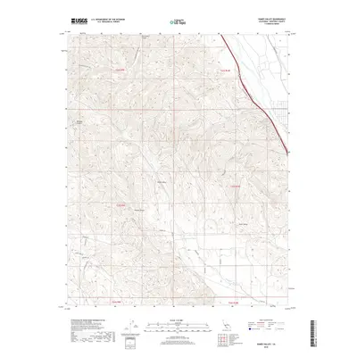
2018 Map of Hames Valley
USGS Topo · Published 2018About this map
Hames Valley and Swain Valley define the complex, canyon-cut landscape of southern Monterey County in this 2018 survey. The northeast corner of the map is dominated by the Salinas River, which runs parallel to Los Lobos Rd and the more local W Los Lobos Rd. This area shows a distinct contrast between the riparian corridor of the river and the steep, dissected topography to the west, where deep cuts like Garrissere Canyon, Williams Canyon, and Mincey Canyon drain toward the interior basins. Local transit and access are facilitated by a network of established routes including Jolon Rd and Frudden Rd. Further south, the intermittent flow of Hames Cr winds through the hills near Heinser Rd, while named residential or ranching lanes like County Lake Dr and New Fleetwood Rd indicate modern land use in this rural California corridor.
Find a feature on this map
27 named features on this map. Tap any name to fly to it.
Don’t see what you’re looking for? This feature index may not catch every label — zoom into the map to look around manually.
Map Details
Editions of this 2018 Hames Valley Map
This is the sole edition of this map. No revisions or reprints were ever made.
Other maps of this area

1912 · San Ardo
USGS Topo · 1:31,680

1915 · Priest Valley
USGS Topo · 1:125,000

1919 · King City
USGS Topo · 1:62,500

1919 · Bryson
USGS Topo · 1:62,500

1919 · Bradley
USGS Topo · 1:62,500

1939 · King City
USGS Topo · 1:62,500

1941 · San Ardo
USGS Topo · 1:62,500

1941 · Bradley
USGS Topo · 1:62,500

1941 · Bryson
USGS Topo · 1:62,500

1942 · Bryson
USGS Topo · 1:62,500