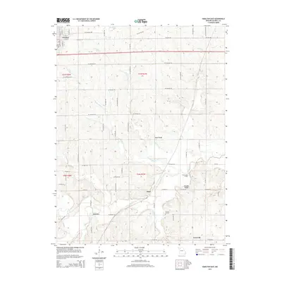
2015 Map of Hamilton East
USGS Topo · Published 2015About this map
Hamilton anchors the northwestern corner of this landscape, where the street grid of E Bird St and E Berry St transitions into a vast network of rural sections. The territory is defined by the winding paths of Cottonwood Cr and Little Otter Cr, which converge as they flow toward the larger Shoal Cr valley in the south. These waterways dictate the placement of early settlements and agricultural nodes, from the small cluster at New York to the outlying community of Bonanza.
Find a feature on this map
77 named features on this map. Tap any name to fly to it.
Don’t see what you’re looking for? This feature index may not catch every label — zoom into the map to look around manually.
Map Details
Editions of this 2015 Hamilton East Map
This is the sole edition of this map. No revisions or reprints were ever made.
Other maps of this area
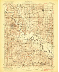
1922 · Gallatin
USGS Topo · 1:62,500
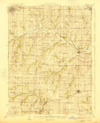
1924 · Polo
USGS Topo · 1:62,500
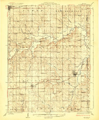
1924 · Braymer
USGS Topo · 1:62,500
1924 · Winston
USGS Topo · 1:62,500

1950 · Kansas City
USGS Topo · 1:250,000
1953 · Moberly
USGS Topo · 1:250,000
1954 · Kansas City
USGS Topo · 1:250,000
1954 · Moberly
USGS Topo · 1:250,000
1956 · Kansas City
USGS Topo · 1:250,000
1957 · Moberly
USGS Topo · 1:250,000