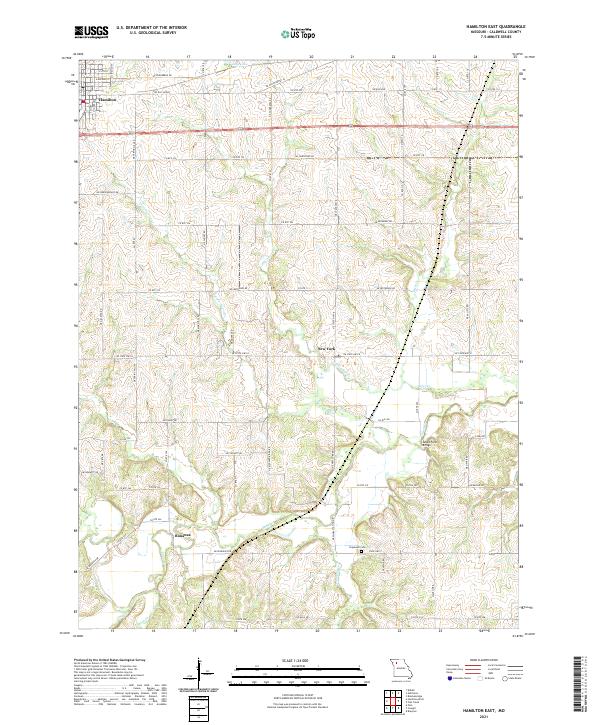
2021 Map of Hamilton East
USGS Topo · Published 2021About this map
Hamilton anchors the northwestern corner of this Caldwell County landscape, where the agricultural grid of northern Missouri meets a dense network of meandering waterways. The terrain is defined by the drainage basins of Shoal Cr and Little Otter Cr, which carve through the rolling farmland. Small, distinct settlements like New York and Bonanza persist as local landmarks along the county road system, reflecting the enduring rural character of the region.
Find a feature on this map
80 named features on this map. Tap any name to fly to it.
Don’t see what you’re looking for? This feature index may not catch every label — zoom into the map to look around manually.
Map Details
Editions of this 2021 Hamilton East Map
This is the sole edition of this map. No revisions or reprints were ever made.
Other maps of this area

1922 · Gallatin
USGS Topo · 1:62,500

1924 · Polo
USGS Topo · 1:62,500

1924 · Braymer
USGS Topo · 1:62,500

1924 · Winston
USGS Topo · 1:62,500

1950 · Kansas City
USGS Topo · 1:250,000

1953 · Moberly
USGS Topo · 1:250,000

1954 · Kansas City
USGS Topo · 1:250,000

1954 · Moberly
USGS Topo · 1:250,000

1956 · Kansas City
USGS Topo · 1:250,000

1957 · Moberly
USGS Topo · 1:250,000