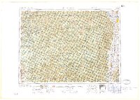
1959 Map of Hamilton
USGS Topo · Published 1959About this map
Missoula and the Bitterroot Valley floor appear as centers of settlement in the late 1950s, bounded by the massive wilderness of the Bitterroot Range and Bitterroot Mountains. The map highlights the historic importance of the Lolo Trail and the military presence at Fort Missoula, while the Bitterroot River serves as the primary drainage for communities like Stevensville, Victor, and Hamilton.
Find a feature on this map
144 named features on this map. Tap any name to fly to it.
Don’t see what you’re looking for? This feature index may not catch every label — zoom into the map to look around manually.
Map Details
Editions of this 1959 Hamilton Map
This is the sole edition of this map. No revisions or reprints were ever made.
Other maps of this area
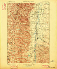
1901 · Hamilton
USGS Topo · 1:125,000
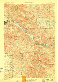
1903 · Bonner
USGS Topo · 1:125,000
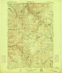
1909 · Sapphire
USGS Topo · 1:125,000
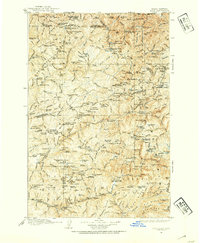
1911 · Lolo
USGS Topo · 1:250,000
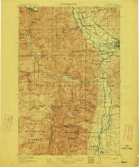
1912 · Missoula
USGS Topo · 1:125,000
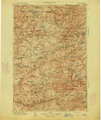
1913 · Lolo
USGS Topo · 1:250,000
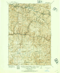
1914 · Avery
USGS Topo · 1:125,000
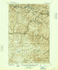
1917 · Avery
USGS Topo · 1:125,000
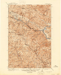
1918 · St Regis
USGS Topo · 1:125,000
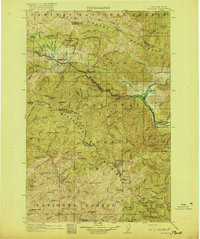
1919 · St. Regis
USGS Topo · 1:125,000