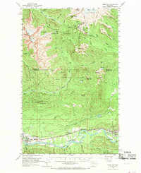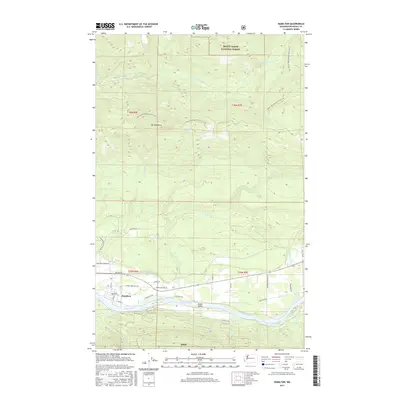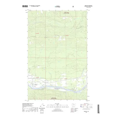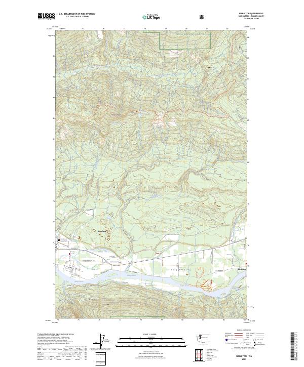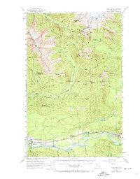
1973 Map of Hamilton
USGS Topo · Published 1974About this map
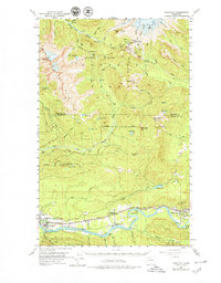
The Skagit River valley serves as the primary corridor for settlement and industry in this 1950s-era terrain, where the Northern Great Railway connects the timber and quarrying towns of Hamilton, Birdsview, and Concrete. The landscape is dominated by the massive glaciated slopes of the Sisters Mountains and the southern reaches of the Baker region, featuring prominent peaks like South Twin and North Twin. Local industry and infrastructure are evident in the presence of the Birdsview Siding, an Airport, and a Gravel Pit near the river. High-altitude fire detection is a clear priority of the era, with multiple observation points including the Mt Josephine Lookout, Park Butte Lookout, and Dock Butte Lookout positioned to monitor the surrounding Baker National Forest. Numerous glacial features, such as the Deming Glacier and Easton Glacier, feed the complex network of creeks that flow into the Middle Fork Nooksack River.
Find a feature on this map
92 named features on this map. Tap any name to fly to it.
Don’t see what you’re looking for? This feature index may not catch every label — zoom into the map to look around manually.
Map Details
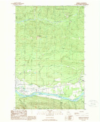
Editions of this 1973 Hamilton Map
2 editions found
Historical Maps of Birdsview Through Time
8 maps found