Loading...
Loading map...1973 Map of Hamilton
USGS Topo · Published 1979About this map
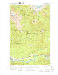
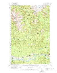
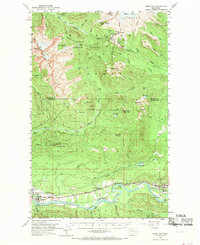
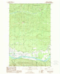
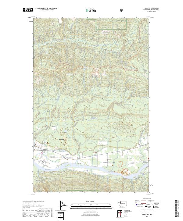
Hamilton and Concrete anchor the southern corridor of this landscape along the banks of the Skagit River, where the Northern Pacific railroad tracks follow the valley floor. The settlement pattern reflects the mid-century industrial reliance on the river and rail, with Birdsview and Grassmere serving as key points of activity between the larger towns. North of the river, the terrain rises sharply into the Mt Baker National Forest, a region defined by high-elevation landmarks such as Loomis Mtn and Mt Josephine.
Find a feature on this map
77 named features on this map. Tap any name to fly to it.
Don’t see what you’re looking for? This feature index may not catch every label — zoom into the map to look around manually.
Map Details
Date Portrayed1973
Date Published1979
PublisherU.S. Geological Survey
Map TypeTopographic
Scale1:62,500
Physical Dimensions17.1 x 21.9 inches
Editions of this 1973 Hamilton Map
2 editions found
Historical Maps of Birdsview Through Time
4 maps found
Featured Locations
Source Details
SourceU.S. Geological Survey
CopyrightPublic Domain