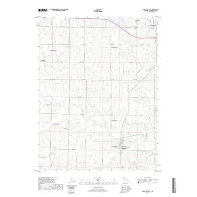
2017 Map of Hamilton West
USGS Topo · Published 2017About this map
Hamilton and Kingston serve as the primary anchors for this rural Caldwell County landscape, connected by a network of gravel and paved roads that traverse the undulating terrain. The northern section is dominated by the waters of Hamilton Reservoir and the smaller Clark Lake, providing a clear contrast to the southern agricultural lands surrounding Kingston. This area exhibits a typical Missouri township and range grid, where numerous family-associated burial grounds such as Highland Cem, Dustin Cem, and Morris Cem remain preserved among the fields. Watercourses like Shoal Cr and Goose Cr carve winding paths through the territory, defining the natural drainage patterns that shaped early settlement. The presence of the small community of Barwick along NW Barwick Dr further illustrates the localized development typical of this region's farming history.
Find a feature on this map
84 named features on this map. Tap any name to fly to it.
Don’t see what you’re looking for? This feature index may not catch every label — zoom into the map to look around manually.
Map Details
Editions of this 2017 Hamilton West Map
This is the sole edition of this map. No revisions or reprints were ever made.
Other maps of this area

1922 · Gallatin
USGS Topo · 1:62,500

1924 · Polo
USGS Topo · 1:62,500

1924 · Braymer
USGS Topo · 1:62,500

1924 · Winston
USGS Topo · 1:62,500

1950 · Kansas City
USGS Topo · 1:250,000

1953 · Moberly
USGS Topo · 1:250,000

1954 · Kansas City
USGS Topo · 1:250,000

1954 · Moberly
USGS Topo · 1:250,000

1956 · Kansas City
USGS Topo · 1:250,000

1957 · Moberly
USGS Topo · 1:250,000