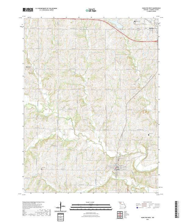
2021 Map of Hamilton West
USGS Topo · Published 2021About this map
Kingston, the historic county seat of Caldwell County, serves as the southern anchor of this Missouri landscape. The town plan is dominated by the Caldwell County Courthouse at its center, surrounded by local thoroughfares like E Main St and Benton St. To the north, the terrain transitions into agricultural tracts towards the western edge of Hamilton, where early settlement patterns are marked by family and community landmarks such as Highland Cem and Dustin Cem.
Find a feature on this map
49 named features on this map. Tap any name to fly to it.
Don’t see what you’re looking for? This feature index may not catch every label — zoom into the map to look around manually.
Map Details
Editions of this 2021 Hamilton West Map
This is the sole edition of this map. No revisions or reprints were ever made.
Other maps of this area

1922 · Gallatin
USGS Topo · 1:62,500

1924 · Polo
USGS Topo · 1:62,500

1924 · Braymer
USGS Topo · 1:62,500

1924 · Winston
USGS Topo · 1:62,500

1950 · Kansas City
USGS Topo · 1:250,000

1953 · Moberly
USGS Topo · 1:250,000

1954 · Kansas City
USGS Topo · 1:250,000

1954 · Moberly
USGS Topo · 1:250,000

1956 · Kansas City
USGS Topo · 1:250,000

1957 · Moberly
USGS Topo · 1:250,000