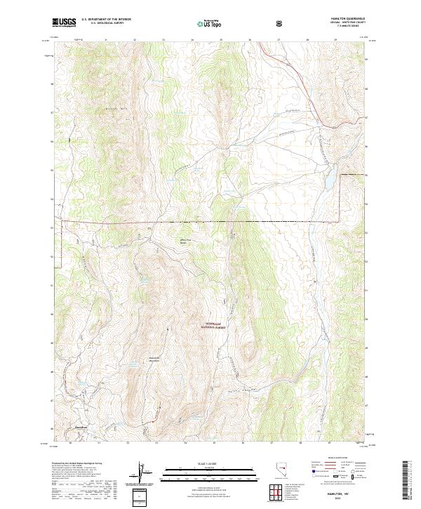
2021 Map of Hamilton
USGS Topo · Published 2021About this map
Hamilton anchors the southwestern corner of this survey, a point of entry into the high-elevation landscape of the Humboldt National Forest. The terrain is defined by the massive uplift of the White Pine Range and the Mokomoke Mountains, where water is a precious resource marked by scattered points like Waterworks Spring, Poison Spring, and Barrel Spring. The presence of the Belmont Cutoff and the Hamilton Bypass suggests a network of specialized routes through the limestone canyons and mountain passes.
Find a feature on this map
43 named features on this map. Tap any name to fly to it.
Don’t see what you’re looking for? This feature index may not catch every label — zoom into the map to look around manually.
Map Details
Editions of this 2021 Hamilton Map
This is the sole edition of this map. No revisions or reprints were ever made.
Other maps of this area

1949 · Treasure Hill
USGS Topo · 1:62,500

1950 · Treasure Hill
USGS Topo · 1:62,500

1951 · Green Springs
USGS Topo · 1:62,500

1951 · Illipah
USGS Topo · 1:62,500

1951 · Pancake Summit
USGS Topo · 1:62,500

1956 · Ely
USGS Topo · 1:250,000

1959 · Ely
USGS Topo · 1:250,000

1963 · Ely
USGS Topo · 1:250,000

1979 · Mt. Hamilton
USGS Topo · 1:100,000
1990 · Seligman Canyon
USGS Topo · 1:24,000