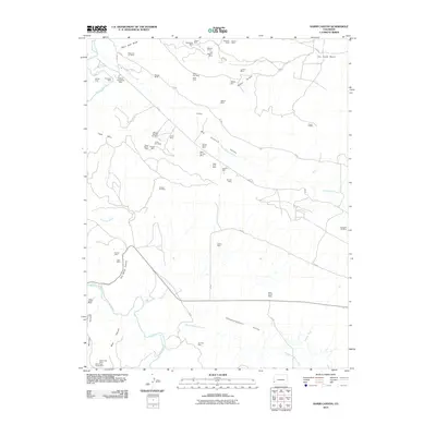
2010 Map of Hamm Canyon
USGS Topo · Published 2010About this map
Mining operations dominate the landscape of Big Gypsum Valley and the surrounding canyons in this Colorado survey. Dozens of active and historic claims are scattered across the high terrain, including the Sunday Mine, West Sunday Mine, and the Saint Jude Mine. The density of these sites, particularly around Hamm Canyon and the Big Gypsum Creek drainage, reflects a legacy of uranium and vanadium extraction that shaped the local economy.
Find a feature on this map
62 named features on this map. Tap any name to fly to it.
Don’t see what you’re looking for? This feature index may not catch every label — zoom into the map to look around manually.
Map Details
Editions of this 2010 Hamm Canyon Map
This is the sole edition of this map. No revisions or reprints were ever made.
Other maps of this area

1916 · Paradox Valley
USGS Topo · 1:125,000

1922 · Paradox Valley
USGS Topo · 1:125,000

1948 · Bull Canyon
USGS Topo · 1:24,000

1948 · Horse Range Mesa
USGS Topo · 1:24,000

1948 · Hamm Canyon
USGS Topo · 1:24,000

1948 · Naturita NW
USGS Topo · 1:24,000

1948 · Gypsum Gap
USGS Topo · 1:24,000

1949 · Bull Canyon
USGS Topo · 1:24,000

1949 · Gypsum Gap
USGS Topo · 1:24,000

1949 · Naturita NW
USGS Topo · 1:24,000