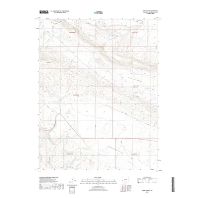
2019 Map of Hamm Canyon
USGS Topo · Published 2019About this map
Dolores River currents carve through the southwestern corner of this Colorado landscape, defining the deep relief of Dolores Canyon and Blue Canyon. The region is dominated by a series of significant drainage basins and valleys, including the broad Big Gypsum Valley and the aptly named Disappointment Valley. This topography is marked by distinct seasonal watercourses such as Nicholas Wash, Dugout Wash, and Disappointment Cr, which highlight the arid hydrological patterns of San Miguel County.
Find a feature on this map
41 named features on this map. Tap any name to fly to it.
Don’t see what you’re looking for? This feature index may not catch every label — zoom into the map to look around manually.
Map Details
Editions of this 2019 Hamm Canyon Map
This is the sole edition of this map. No revisions or reprints were ever made.
Other maps of this area

1916 · Paradox Valley
USGS Topo · 1:125,000

1922 · Paradox Valley
USGS Topo · 1:125,000

1948 · Bull Canyon
USGS Topo · 1:24,000

1948 · Horse Range Mesa
USGS Topo · 1:24,000

1948 · Hamm Canyon
USGS Topo · 1:24,000

1948 · Naturita NW
USGS Topo · 1:24,000

1948 · Gypsum Gap
USGS Topo · 1:24,000

1949 · Bull Canyon
USGS Topo · 1:24,000

1949 · Gypsum Gap
USGS Topo · 1:24,000

1949 · Naturita NW
USGS Topo · 1:24,000