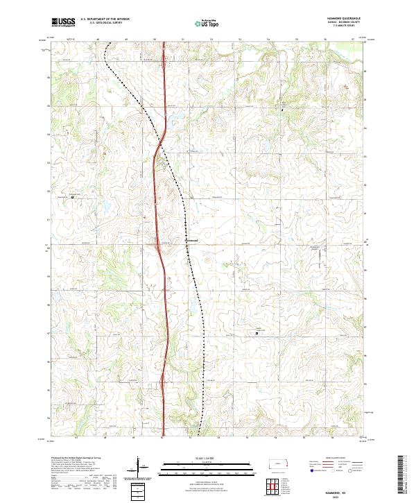
2022 Map of Hammond
USGS Topo · Published 2022About this map
Hammond serves as the central hub of this Bourbon County landscape, situated where US Hwy 69 bisects the prairie and timbered creek bottoms. The terrain is defined by a dense network of watercourses, including the Little Osage River in the northern reaches and numerous tributaries like Shiloh Cr, Wolverine Cr, and Moores Br. This drainage pattern deeply influenced the local layout of section-line roads, creating a rhythmic grid of thoroughfares such as Valley Rd and Soldier RD that navigate the undulating topography.
Find a feature on this map
37 named features on this map. Tap any name to fly to it.
Don’t see what you’re looking for? This feature index may not catch every label — zoom into the map to look around manually.
Map Details
Editions of this 2022 Hammond Map
This is the sole edition of this map. No revisions or reprints were ever made.
Other maps of this area

1884 · Fort Scott
USGS Topo · 1:125,000

1886 · Fort Scott
USGS Topo · 1:125,000

1887 · Mound City
USGS Topo · 1:125,000

1893 · Fort Scott
USGS Topo · 1:125,000

1893 · Mound City
USGS Topo · 1:125,000

1939 · Deerfield
USGS Topo · 1:24,000

1940 · Hume
USGS Topo · 1:24,000

1942 · Hume
USGS Topo · 1:24,000

1942 · Richards
USGS Topo · 1:24,000

1942 · Deerfield
USGS Topo · 1:24,000