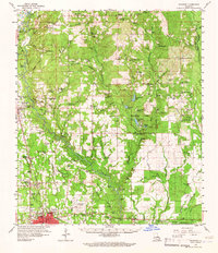
1959 Map of Hammond
USGS Topo · Published 1965About this map
Hammond and its surrounding parish lands are defined by the convergence of the Illinois Central Railroad and the meandering Tangipahoa River. In the late 1950s, this region serves as a hub for both education and agriculture, anchored by Southeastern La College and the Hammond Airport. The landscape north of the city is characterized by numerous small settlements like Independence and Tickfaw, which grew along the rail corridor. The map reveals an extensive network of country churches and family burial grounds, such as Baldwin Chapel and the Briar Patch Cem, illustrating the deep-rooted genealogical fabric of the area. Significant industrial activity is evident in the numerous Gravel Pits concentrated near Independence, while the eastern portion of the sheet is dominated by the extensive acreage of Zemurray Park, featuring Zemurray Lodge and Chappepeela Lake.
Find a feature on this map
123 named features on this map. Tap any name to fly to it.
Don’t see what you’re looking for? This feature index may not catch every label — zoom into the map to look around manually.
Map Details
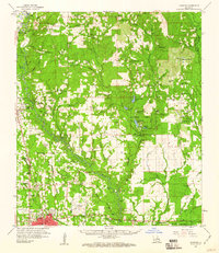
Editions of this 1959 Hammond Map
2 editions found
Other maps of this area

1934 · Springfield
USGS Topo · 1:62,500

1935 · Covington
USGS Topo · 1:62,500

1935 · Ponchatoula
USGS Topo · 1:62,500

1939 · Ponchatoula
USGS Topo · 1:62,500

1939 · Covington
USGS Topo · 1:62,500

1939 · Springfield
USGS Topo · 1:62,500

1940 · Tickfaw
USGS Topo · 1:31,680

1940 · Roseland
USGS Topo · 1:31,680

1942 · Roseland
USGS Topo · 1:31,680

1942 · Onville
USGS Topo · 1:31,680