
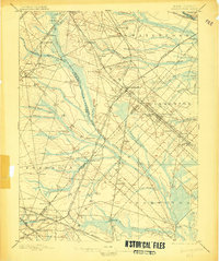
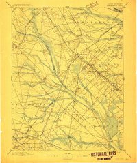
1898 Map of Hammonton
USGS Topo · Published 1898About this map
The New Jersey Pine Barrens emerge in this 1880s survey as a dense network of iron, agriculture, and rail lines. Centered on Hammonton, the landscape is defined by the convergence of major transit corridors including the Atlantic City Railroad and the Camden and Atlantic R.R.. The presence of the Fruit Growers Union near the Hammonton settlement highlights the region's burgeoning 19th-century fruit industry, while the intricate waterway system of the Great Egg Harbor River and its many branches like Hospitality Branch supported the local economy.
Find a feature on this map
88 named features on this map. Tap any name to fly to it.
Don’t see what you’re looking for? This feature index may not catch every label — zoom into the map to look around manually.
Map Details
Editions of this 1898 Hammonton Map
3 editions found
Other maps of this area

1888 · Pemberton
USGS Topo · 1:62,500

1888 · Mount Holly
USGS Topo · 1:62,500

1890 · Great Egg Harbor
USGS Topo · 1:62,500

1890 · Hammonton
USGS Topo · 1:62,500

1890 · Tuckahoe
USGS Topo · 1:62,500

1890 · Bridgeton
USGS Topo · 1:62,500

1890 · Mullica
USGS Topo · 1:62,500

1890 · Glassboro
USGS Topo · 1:62,500

1891 · Philadelphia
USGS Topo · 1:62,500

1893 · Great Egg Harbor
USGS Topo · 1:62,500