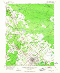
1953 Map of Hammonton
USGS Topo · Published 1968About this map
The agricultural and institutional landscape of the Pine Barrens is visible in this mid-century survey of the Hammonton region. The town itself serves as a central hub, defined by a dense grid and the presence of Hammonton Lake, while the surrounding countryside is marked by extensive berry cultivation, including numerous Cranberry Bog sites and Maple Island. The area's status as a transportation nexus is evident at Winslow Junction, where the Pennsylvania-Reading Seashore Lines and the Central Railroad of New Jersey converge, facilitating the movement of local produce and passengers.
Find a feature on this map
61 named features on this map. Tap any name to fly to it.
Don’t see what you’re looking for? This feature index may not catch every label — zoom into the map to look around manually.
Map Details
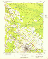
Editions of this 1953 Hammonton Map
2 editions found
Other maps of this area

1888 · Pemberton
USGS Topo · 1:62,500

1888 · Mount Holly
USGS Topo · 1:62,500

1890 · Hammonton
USGS Topo · 1:62,500

1890 · Mullica
USGS Topo · 1:62,500

1894 · Hammonton
USGS Topo · 1:62,500

1894 · Pemberton
USGS Topo · 1:62,500

1894 · Mount Holly
USGS Topo · 1:62,500

1894 · Mullica
USGS Topo · 1:62,500

1898 · Pemberton
USGS Topo · 1:62,500

1898 · Mount Holly
USGS Topo · 1:62,500