Loading...
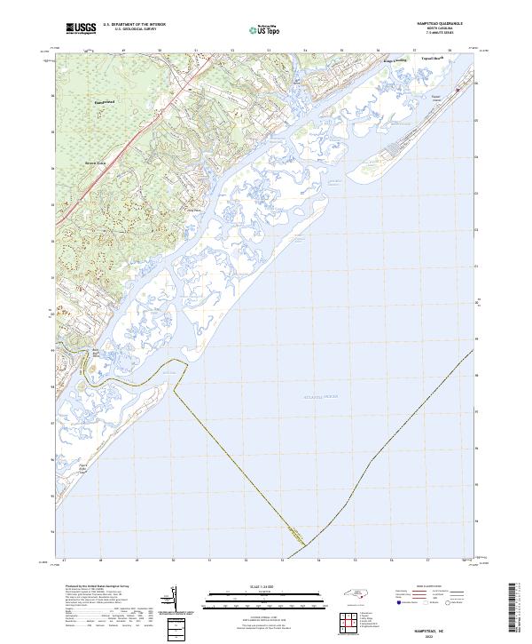
Loading map...2022 Map of Hampstead
USGS Topo · Published 2022About this map
Hampstead and the coastal settlements of Brown Town and Middle Sound anchor this detailed study of the Pender County and New Hanover County coastline. The landscape is defined by the intricate network of the Intracoastal Waterway and its accompanying sounds, including Topsail Sound and Eddy Sound. The barrier island system, featuring Topsail Island and Figure Eight Island, protects a maze of tidal channels such as Howards Channel, Black Mud Channel, and Green Channel.
Find a feature on this map
83 named features on this map. Tap any name to fly to it.
Don’t see what you’re looking for? This feature index may not catch every label — zoom into the map to look around manually.
Map Details
Date Portrayed2022
Date Published2022
PublisherU.S. Geological Survey
Map TypeTopographic
Scale1:24000
Physical Dimensions24 x 29 inches
Editions of this 2022 Hampstead Map
This is the sole edition of this map. No revisions or reprints were ever made.
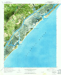
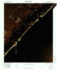
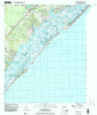
Historical Maps of Topsail Beach Through Time
4 maps found
Featured Locations
Source Details
SourceU.S. Geological Survey
CopyrightPublic Domain