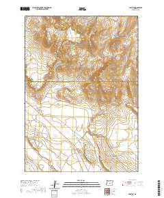
2020 Map of Hampton
USGS Topo · Published 2020About this map
The high desert landscape of central Oregon is documented here along the boundary of Crook Co and Deschutes Co. The small settlement of Hampton serves as a primary point of reference, situated along the highway corridor that cuts through the arid interior. To the north, the terrain rises significantly toward the Hampton Buttes, which dominate the upper portion of the quadrangle with their distinct topography. The presence of Schraeder Rd indicates the sparse but essential transportation network connecting isolated ranching or land management areas. This map reflects the enduring character of the Oregon high country, where human activity is concentrated near vital transit routes while the surrounding land remains defined by its natural landforms and expansive open space.
Find a feature on this map
8 named features on this map. Tap any name to fly to it.
Don’t see what you’re looking for? This feature index may not catch every label — zoom into the map to look around manually.
Map Details
Editions of this 2020 Hampton Map
This is the sole edition of this map. No revisions or reprints were ever made.
Other maps of this area

1955 · Crescent
USGS Topo · 1:250,000

1957 · Crescent
USGS Topo · 1:250,000

1958 · Crescent
USGS Topo · 1:250,000

1970 · Crescent
USGS Topo · 1:250,000

1983 · Potato Lake
USGS Topo · 1:24,000

1983 · Hampton Butte
USGS Topo · 1:24,000

1983 · Benjamin Lake
USGS Topo · 1:24,000

1983 · West of Hampton
USGS Topo · 1:24,000
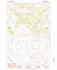
1983 · Hampton
USGS Topo · 1:24,000
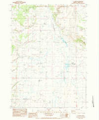
1983 · G.I. Ranch
USGS Topo · 1:24,000