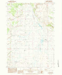
1983 Map of G.I. Ranch
USGS Topo · Published 1983About this map
The high desert landscape of central Oregon is defined here by the seasonal flow of the Crooked River and its South Fork, which meander through a series of marshes and irrigation ditches. Cattle ranching and water management dominate the human footprint in this part of Crook County, anchored by the prominent G I Ranch and the nearby Logan Reservoir. The map documents a sparsely populated region where early 1980s infrastructure consists primarily of unimproved roads and 4WD tracks connecting isolated points of interest.
Find a feature on this map
17 named features on this map. Tap any name to fly to it.
Don’t see what you’re looking for? This feature index may not catch every label — zoom into the map to look around manually.
Map Details
Editions of this 1983 G.I. Ranch Map
This is the sole edition of this map. No revisions or reprints were ever made.
Other maps of this area

1955 · Crescent
USGS Topo · 1:250,000

1955 · Burns
USGS Topo · 1:250,000

1957 · Crescent
USGS Topo · 1:250,000

1958 · Crescent
USGS Topo · 1:250,000

1958 · Burns
USGS Topo · 1:250,000

1959 · Burns
USGS Topo · 1:250,000

1970 · Crescent
USGS Topo · 1:250,000
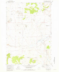
1981 · Hardin Ranch
USGS Topo · 1:24,000
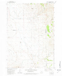
1981 · Dust Bowl
USGS Topo · 1:24,000
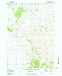
1981 · Ibex Butte
USGS Topo · 1:24,000