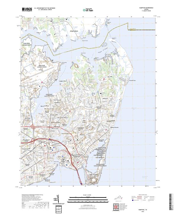
2022 Map of Hampton
USGS Topo · Published 2022About this map
Fort Monroe and its namesake National Monument anchor the southern tip of this coastal survey at Old Point Comfort, overlooking the mouth of the Hampton River and the Chesapeake Bay. The map documents a densely developed maritime and military landscape, featuring the sprawling operations of Joint Base Langley-Eustis and Langley Air Force Base in the west. These military installations are framed by numerous residential developments like Sherwood Park, Sinclair Farms, and Buckroe Gardens, reflecting the region's mid-century and modern growth patterns.
Find a feature on this map
279 named features on this map. Tap any name to fly to it.
Don’t see what you’re looking for? This feature index may not catch every label — zoom into the map to look around manually.
Map Details
Editions of this 2022 Hampton Map
This is the sole edition of this map. No revisions or reprints were ever made.
Other maps of this area

1907 · Norfolk
USGS Topo · 1:125,000

1907 · Hampton
USGS Topo · 1:62,500

1918 · Cape Henry
USGS Topo · 1:62,500

1919 · Cape Henry
USGS Topo · 1:62,500

1921 · Newport News
USGS Topo · 1:62,500

1943 · Richmond
USGS Topo · 1:250,000

1944 · Hampton
USGS Topo · 1:24,000

1944 · Messick
USGS Topo · 1:24,000

1944 · Morrison
USGS Topo · 1:24,000

1944 · Harris Grove
USGS Topo · 1:24,000